


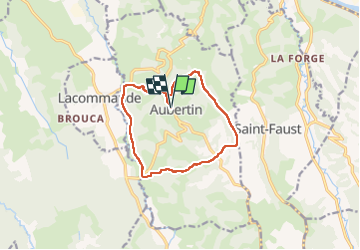

19.6 km | 27 km-effort


User GUIDE


FREE GPS app for hiking
 SityTrail
IGN / Geographical institutes
SityTrail World
The world is yours!
Trail Walking of 12 km to be discovered at New Aquitaine, Pyrénées-Atlantiques, Aubertin. This trail is proposed by marmotte65.
Une balade qui doit être vraiment sympa avec un sol beaucoup plus sec à faire don printemps été automne.
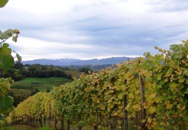
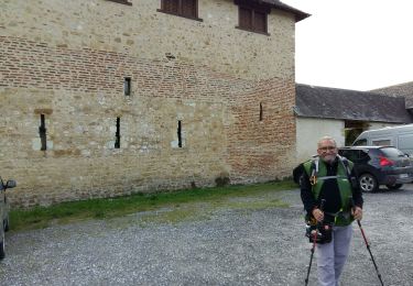
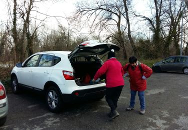
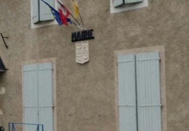
 de la hélère à la baïse fait (G3) 2641287 - Photo 1")
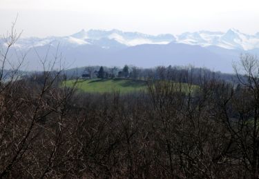
 de la hélère à la baïse fait (G3) 2641287 - Photo 2")
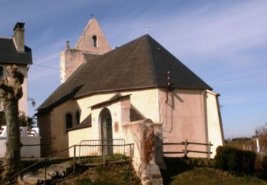
 de la hélère à la baïse fait (G3) 2641287 - Photo 3")
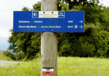
 de la hélère à la baïse fait (G3) 2641287 - Photo 4")
 de la hélère à la baïse fait (G3) 2641287 - Photo 5")
 de la hélère à la baïse fait (G3) 2641287 - Photo 6")
 de la hélère à la baïse fait (G3) 2641287 - Photo 7")
 de la hélère à la baïse fait (G3) 2641287 - Photo 8")
 de la hélère à la baïse fait (G3) 2641287 - Photo 9")
 de la hélère à la baïse fait (G3) 2641287 - Photo 10")
 de la hélère à la baïse fait (G3) 2641287 - Photo 11")
 de la hélère à la baïse fait (G3) 2641287 - Photo 12")
 de la hélère à la baïse fait (G3) 2641287 - Photo 13")
 de la hélère à la baïse fait (G3) 2641287 - Photo 14")
 de la hélère à la baïse fait (G3) 2641287 - Photo 15")
Walking
Walking
Walking
Walking
Walking
Walking
Walking

On foot

Walking