


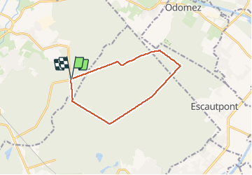

13 km | 14.9 km-effort

User


FREE GPS app for hiking
 SityTrail
IGN / Geographical institutes
SityTrail World
The world is yours!
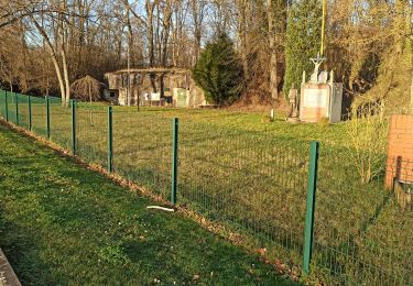
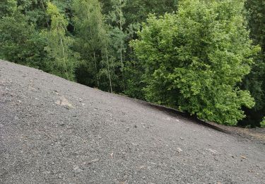
Trail Walking of 9.9 km to be discovered at Hauts-de-France, Nord, Saint-Amand-les-Eaux. This trail is proposed by papiou.
rdv carrefour Mesnil et prendre dreve petit bouze jusqu'à MF Suchemont puis le coucou, rejoindre dreve d'escaupont par route macadam et aller jusqu'à dreve de la longue chasse. revenir par étoile Cernes et sangliers joueurs (BB rose)


Walking

Walking
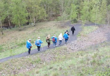
Walking
Walking

Walking
Walking

Walking
Walking

Walking