Trail Walking Brullioles - De Bruliolles à Montrottier - Photo

De Bruliolles à Montrottier

© OpenStreetMap contributors
Length
Length
11.8 km
Max alt
Max alt
753 m
Uphill gradient
Uphill gradient
377 m
Km-Effort
Km-Effort  
16.8 km
Min alt
Min alt
542 m
Downhill gradient
Downhill gradient
378 m
Boucle
Boucle
Yes
Creation date :
2021-01-24 12:42:07.93
Updated on :
2021-01-24 15:40:41.946

(0 Reviews)

Walking
Walking
2h52
Difficulty : Easy

Scan this QR Code to open this trail in the SityTrail application

FREE GPS app for hiking

Logo SityTrail SityTrail

IGN / Geographical institutes

Download SityTrail from the App Store Download SityTrail from Google Play

Logo SityTrail SityTrail World

The world is yours!

Download SityTrail from the App Store Download SityTrail from Google Play Download SityTrail on Huawei AppGallery

About

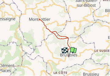
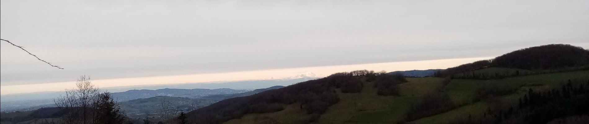
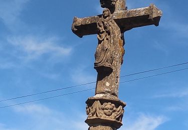
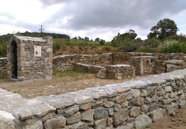
Trail Walking of 11.8 km to be discovered at Auvergne-Rhône-Alpes, Rhône, Brullioles. This trail is proposed by mimi69670.

Description

Du village de Bruliolles à Montrottier

Elevation profile

Photos

Positioning

Country:
France
Region :
Auvergne-Rhône-Alpes
Department/Province :
Rhône
Municipality :
Brullioles
Location:
Unknown
Start:(UTM)
616651 ; 5068561 (31T) N.

Trails nearby

Trail Walking Bibost - RANDO BIBOST - Photo
Walking
JULIENANDRE

Walking

Medium
Bibost, Auvergne-Rhône-Alpes, Rhône, France
16.5 km | 24 km-effort
5h 22min
Yes
Trail Walking Brussieu - 3 brussieu 17.6 km +570m - Photo
Walking
christiane69

Walking

Very easy
(1)
Brussieu, Auvergne-Rhône-Alpes, Rhône, France
17.6 km | 25 km-effort
5h 47min
Yes
Trail Walking Brussieu - La Giraudière à Vaugneray - Photo
Walking
Trotte-menu

Walking

Medium
Brussieu, Auvergne-Rhône-Alpes, Rhône, France
15.2 km | 23 km-effort
4h 52min
No
Trail Walking Bibost - Bibost (69) 18,6 km-D. 719 m - Photo
Walking
Thomasdanielle

Walking

Difficult
Bibost, Auvergne-Rhône-Alpes, Rhône, France
18.6 km | 28 km-effort
5h 51min
Yes
Trail Walking Montrottier - Montrottier par Bessenay - Photo
Walking
ricoux

Walking

Very difficult
Montrottier, Auvergne-Rhône-Alpes, Rhône, France
23 km | 35 km-effort
7h 51min
Yes
Trail Walking Montrottier - Amicale_Montrottier_18 - Photo
Walking
d.rognon

Walking

Very difficult
(1)
Montrottier, Auvergne-Rhône-Alpes, Rhône, France
15.7 km | 23 km-effort
5h 41min
Yes
Trail Walking Les Halles - les Halles sept 2020 - Photo
Walking
AlainGerin

Walking

Very easy
Les Halles, Auvergne-Rhône-Alpes, Rhône, France
31 km | 42 km-effort
18h 46min
No
Trail Walking Saint-Laurent-de-Chamousset - st laurent de chamousset - Photo
Walking
GRISON-Alain

Walking

Very easy
Saint-Laurent-de-Chamousset, Auvergne-Rhône-Alpes, Rhône, France
21 km | 29 km-effort
5h 4min
No
Trail Walking Bibost - Bibost - Photo
Walking
GRISON-Alain

Walking

Very easy
Bibost, Auvergne-Rhône-Alpes, Rhône, France
9 km | 13.2 km-effort
1h 59min
Yes


Close
My subscriptions