


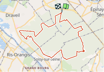

16.8 km | 18.6 km-effort

User


FREE GPS app for hiking
 SityTrail
IGN / Geographical institutes
SityTrail World
The world is yours!
Trail Walking of 22 km to be discovered at Ile-de-France, Essonne, Montgeron. This trail is proposed by chessyca.
Boucle effectuée le 3 février avec Brigitte.
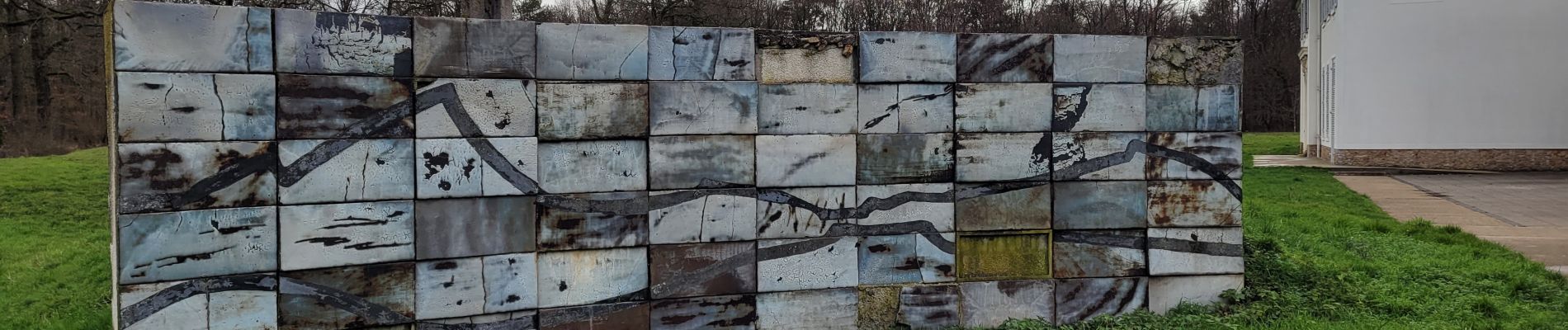
Murs sympa pour les amateurs de street art sur Dupuytrin coté foret et la chance de voir la faisanderie ouverte


Walking

On foot

Walking

On foot

On foot

Walking

Walking

Walking

Walking