


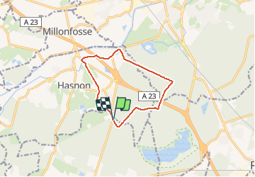

8.7 km | 9.7 km-effort

User


FREE GPS app for hiking
 SityTrail
IGN / Geographical institutes
SityTrail World
The world is yours!
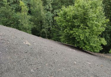
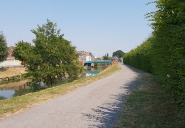
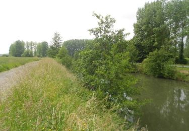
Trail Walking of 9.8 km to be discovered at Hauts-de-France, Nord, Wallers. This trail is proposed by papiou.
rdv sortie trouée d'Arenberg à Hasnon. prendre les pavés puis 1ere dreve à gauche, ensuite 1ere dreve à droite, rejoindre Vas-y puis passer sous l'autoroute, après maison de la chasse prendre dreve à gauche pour rejoindre MF de la Scarpe (cd40), prendre à gauche et avant pont autoroute prendre route à droite pour rejoindre point départ par sentier et rues


Walking
Walking
Walking

Walking
Mountain bike

Walking
Walking
Walking

Walking