


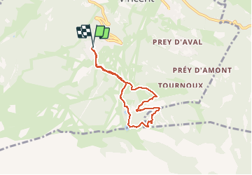

6 km | 10.4 km-effort

User GUIDE


FREE GPS app for hiking
 SityTrail
IGN / Geographical institutes
SityTrail World
The world is yours!
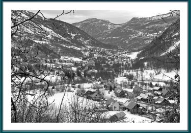
Trail Snowshoes of 6.4 km to be discovered at Provence-Alpes-Côte d'Azur, Hautes-Alpes, Puy-Saint-Vincent. This trail is proposed by amiral13.
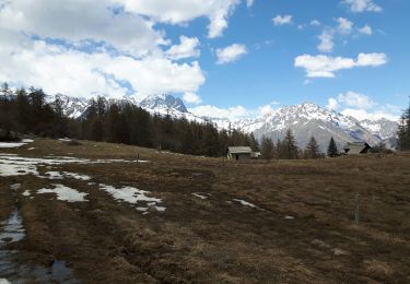
renseignez-vous de l'état de la neige auprès du bureau des guides avant de vous lancer
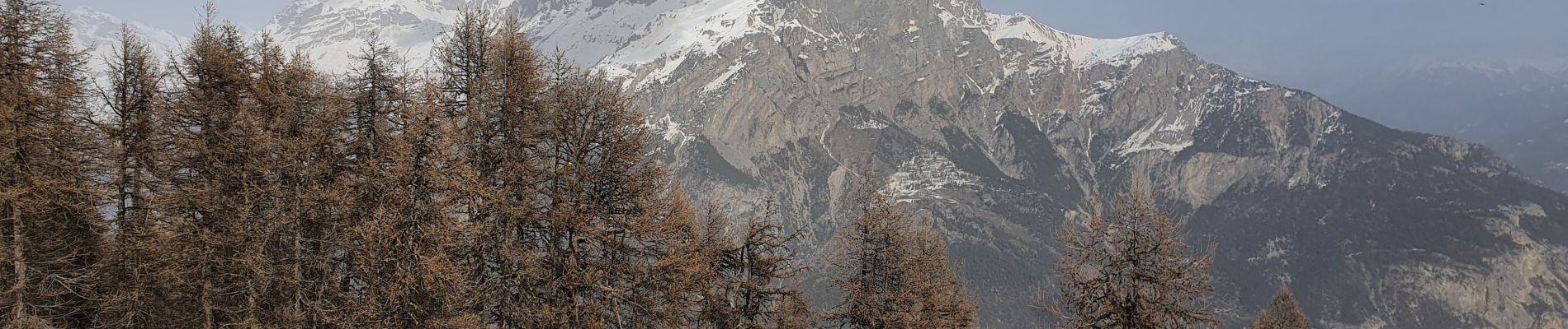
D'autre part, le sentier qui monte vers la crête de la coste de l'Ase, est difficile et peut-être dangereux; ne vous y engager que si les conditions sont bonnes et que vous maitrisez bien l'utilisation des raquettes à neige.


Walking

Walking
On foot
On foot

On foot

Walking

Walking
Walking
Walking