


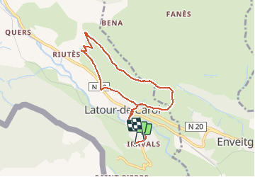


20 km | 28 km-effort

User


FREE GPS app for hiking
 SityTrail
IGN / Geographical institutes
SityTrail World
The world is yours!
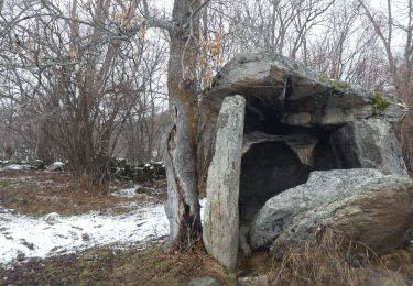
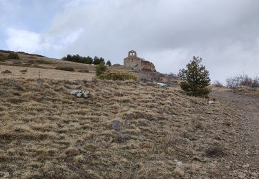
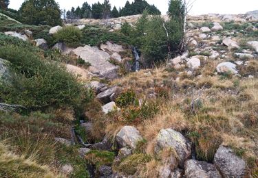
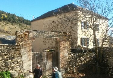
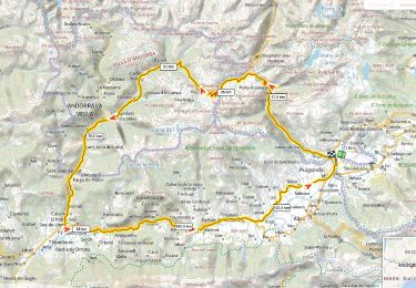
Trail Trail of 8.1 km to be discovered at Occitania, Pyrénées-Orientales, Latour-de-Carol. This trail is proposed by toutankhcarton.


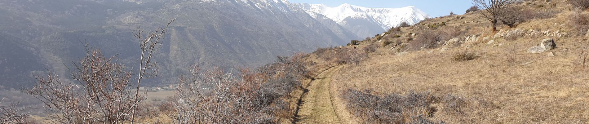
Walking
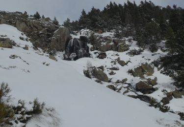
Snowshoes
Walking
Walking
Walking

Walking

Walking
Road bike