


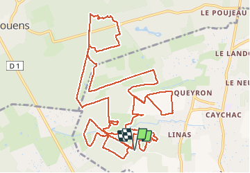

10.3 km | 11.4 km-effort

User


FREE GPS app for hiking
 SityTrail
IGN / Geographical institutes
SityTrail World
The world is yours!
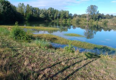
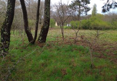
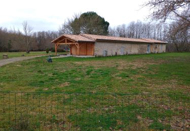
Trail Walking of 19.3 km to be discovered at New Aquitaine, Gironde, Blanquefort. This trail is proposed by jara.
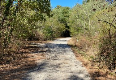
A éviter de faire en cas de pluie, voire suite à des périodes de pluie, car chemin boueux


Walking
Walking
Walking
Motor
Walking
Walking
Walking
Walking
Walking