


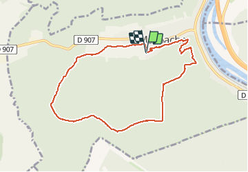

11.1 km | 13.5 km-effort

User


FREE GPS app for hiking
 SityTrail
IGN / Geographical institutes
SityTrail World
The world is yours!
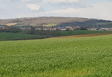
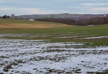
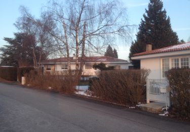
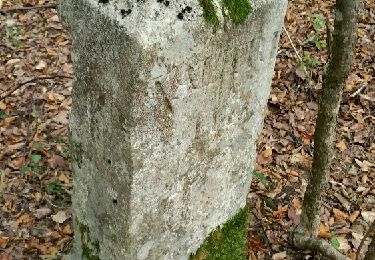
Trail Walking of 8.3 km to be discovered at Grand Est, Meurthe-et-Moselle, Marbache. This trail is proposed by jean-marie.parachini.
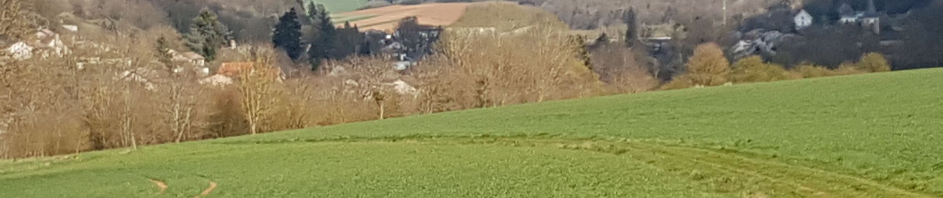
randonnée dans la forêt de Marbache vers le lieu-dit La Tarte.


Walking

On foot
On foot

Walking
Walking
Walking
Walking
Walking
Walking