


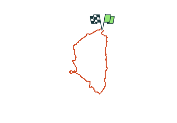

14.8 km | 19.6 km-effort

User


FREE GPS app for hiking
 SityTrail
IGN / Geographical institutes
SityTrail World
The world is yours!
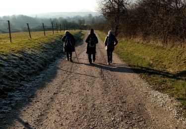
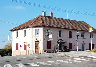
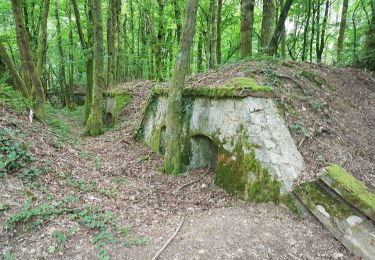
Trail Walking of 10.4 km to be discovered at Bourgogne-Franche-Comté, Haute-Saône, Châlonvillars. This trail is proposed by Bart2015.
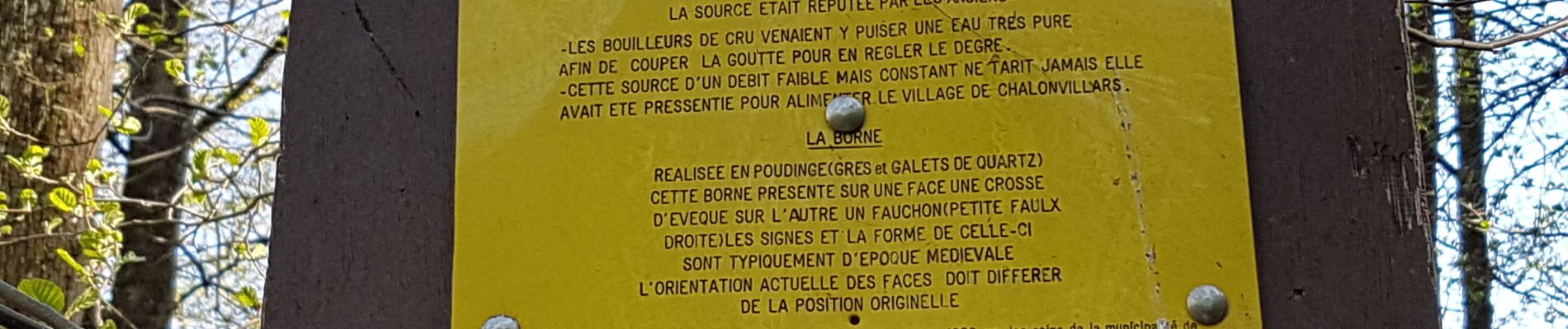
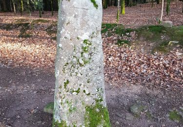
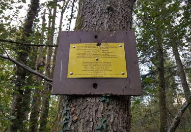
Petite balade campagnarde avec quelques découvertes ...
Bonne balade


Walking

Walking

Mountain bike
Mountain bike
Walking
Walking
Walking
Walking
Walking