


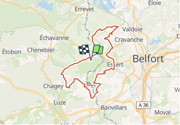

16.3 km | 21 km-effort

User


FREE GPS app for hiking
 SityTrail
IGN / Geographical institutes
SityTrail World
The world is yours!
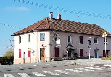
Trail Mountain bike of 31 km to be discovered at Bourgogne-Franche-Comté, Haute-Saône, Châlonvillars. This trail is proposed by Bart2015.
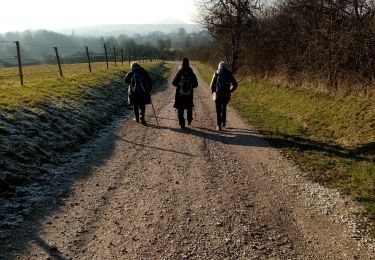
Randonnée VTT (électrique) pour découvrir des curiosités de la région et admirer les belles vues sur le massif naissant des Vosges.
Bonne balade, soyez prudents ...


Walking
Walking

Walking

Mountain bike
Walking
Walking
Walking
Walking
Walking