Trail Walking Châlonvillars - Châlonvillars - le mehnir - Mandrevillars - Photo

Châlonvillars - le mehnir - Mandrevillars

 Bart2015
Bart2015

User

© OpenStreetMap contributors
Length
Length
13.4 km
Max alt
Max alt
499 m
Uphill gradient
Uphill gradient
276 m
Km-Effort
Km-Effort  
17.1 km
Min alt
Min alt
350 m
Downhill gradient
Downhill gradient
277 m
Boucle
Boucle
Yes
Creation date :
2023-01-07 12:37:30.98
Updated on :
2023-01-16 12:11:58.934

(0 Reviews)

Walking
Walking
2h39
Difficulty : Medium

Scan this QR Code to open this trail in the SityTrail application

FREE GPS app for hiking

Logo SityTrail SityTrail

IGN / Geographical institutes

Download SityTrail from the App Store Download SityTrail from Google Play

Logo SityTrail SityTrail World

The world is yours!

Download SityTrail from the App Store Download SityTrail from Google Play Download SityTrail on Huawei AppGallery

About

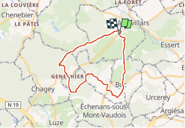
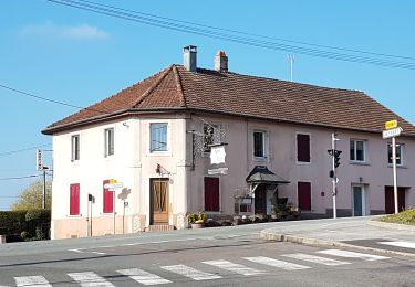
Trail Walking of 13.4 km to be discovered at Bourgogne-Franche-Comté, Haute-Saône, Châlonvillars. This trail is proposed by Bart2015.

Description

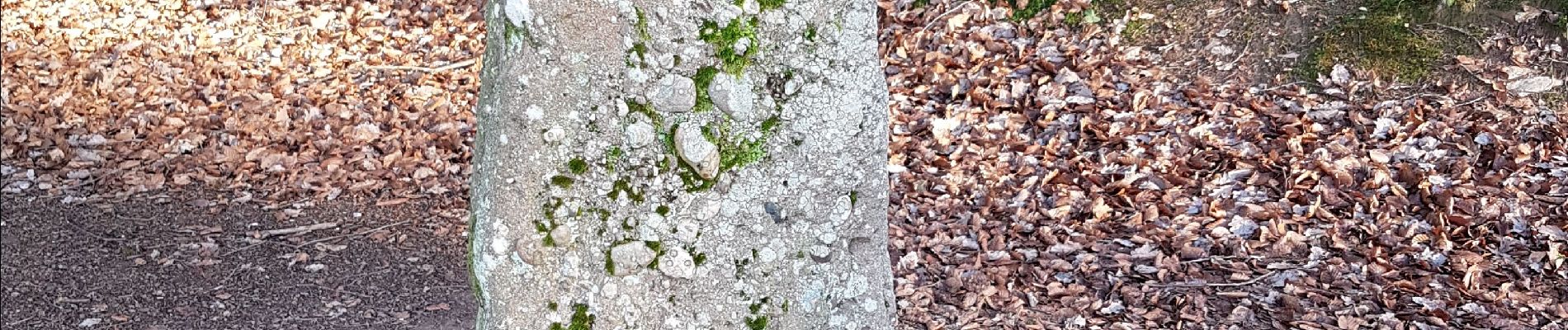
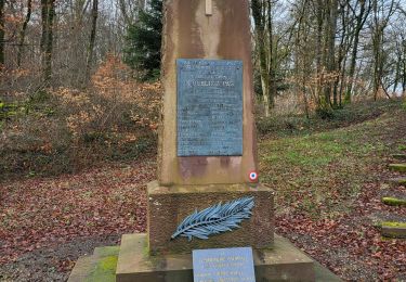
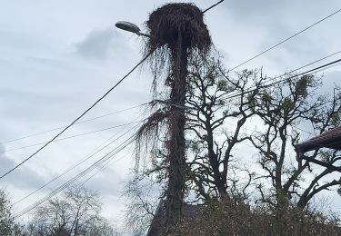
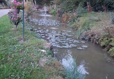
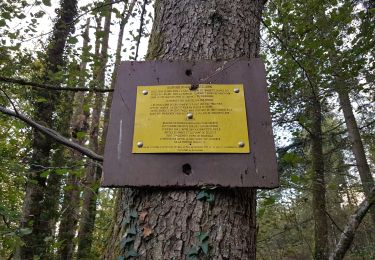
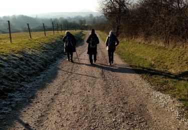
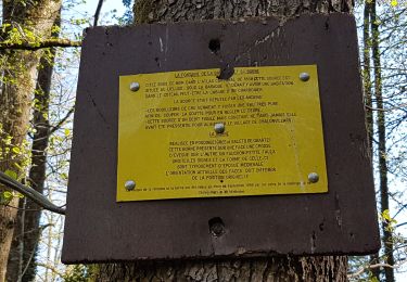
Petite balade sympa dans les bois de Châlonvillars et Mandrevillars. Au point le plus haut, à l'écart du sentier, vous arriverez à une petite maison avec à sa droite l'oratoire de Marie des Geais. Puis 50 m à l'écart du sentier, un "mehnir" en poudingue dénommé "la Pierre St Desle" avec 2 croix gravées sur une face. Redescente sur Genéchier, à la sortie un ruisseau est à traverser, chaussures étanches recommandées. Dans le bois de Mandrevillars, passage par un lieu "la Croix des femmes" où 3 femmes, la mère et ses  filles, ont été foudroyées  en 1792. Un peu avant Mandrevillars, belle vue sur les montagnes de la Planche des Belles Filles et du Ballon d'Alsace. Si vous êtes observateur, vous trouverez sûrement le nid de cigognes dans le village, nid où niche chaque année un couple. Retour sur Châlonvillars, avec une paire de jumelles, vous pourrez voir le Lion de Belfort.
Bonne rando ...

Elevation profile

Photos

Positioning

Country:
France
Region :
Bourgogne-Franche-Comté
Department/Province :
Haute-Saône
Municipality :
Châlonvillars
Location:
Unknown
Start:(UTM)
333535 ; 5278307 (32T) N.

Trails nearby

Trail Walking Banvillars - Banvillars - forts du Hauts Bois et du Bois d'Oye - Photo
Walking
Bart2015

Walking

Very difficult
Banvillars, Bourgogne-Franche-Comté, Territoire-de-Belfort, France
16.3 km | 21 km-effort
4h 40min
Yes
Trail Walking Mandrevillars - Echenans et son fort - Photo
Walking
Bart2015

Walking

Very difficult
Mandrevillars, Bourgogne-Franche-Comté, Haute-Saône, France
14.8 km | 19.6 km-effort
4h 27min
Yes
Trail Walking Châlonvillars - Châlonvillars - Fort du Salbert - Evette-Salbert - Photo
Walking
Bart2015

Walking

Difficult
(1)
Châlonvillars, Bourgogne-Franche-Comté, Haute-Saône, France
11 km | 15.8 km-effort
3h 36min
Yes
Trail Mountain bike Châlonvillars - Châlonvillars - Fort Giromagny en passant au milieu des étangs - Photo
Mountain bike
Bart2015

Mountain bike

Very difficult
Châlonvillars, Bourgogne-Franche-Comté, Haute-Saône, France
40 km | 51 km-effort
3h 31min
Yes
Trail Mountain bike Châlonvillars - Châlonvillars - Menhir - Mandrevillars - Fort Essert et du Salbert - Photo
Mountain bike
Bart2015

Mountain bike

Very difficult
Châlonvillars, Bourgogne-Franche-Comté, Haute-Saône, France
31 km | 42 km-effort
2h 53min
Yes
Trail Walking Châlonvillars - Châlonvillars - Mandrevillars - Photo
Walking
Bart2015

Walking

Easy
Châlonvillars, Bourgogne-Franche-Comté, Haute-Saône, France
9.5 km | 11.9 km-effort
1h 33min
Yes
Trail Walking Frahier-et-Chatebier - frahier - Photo
Walking
Evelyne3

Walking

Medium
(1)
Frahier-et-Chatebier, Bourgogne-Franche-Comté, Haute-Saône, France
5.6 km | 6.8 km-effort
1h 44min
Yes
Trail Walking Châlonvillars - Châlonvillars - Mandrevillars par les bois - Photo
Walking
Bart2015

Walking

Easy
Châlonvillars, Bourgogne-Franche-Comté, Haute-Saône, France
10.4 km | 12.9 km-effort
1h 40min
Yes
Trail Walking Châlonvillars - Châlonvillars - les étangs - fort du Salbert - grottes Cravanche - Photo
Walking
Bart2015

Walking

Medium
Châlonvillars, Bourgogne-Franche-Comté, Haute-Saône, France
13.2 km | 20 km-effort
2h 46min
Yes


Close
My subscriptions