


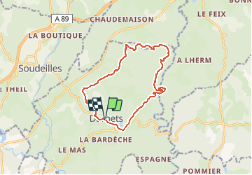

16 km | 21 km-effort


User


FREE GPS app for hiking
 SityTrail
IGN / Geographical institutes
SityTrail World
The world is yours!
Trail Walking of 13.2 km to be discovered at New Aquitaine, Corrèze, Darnets. This trail is proposed by fanclem.
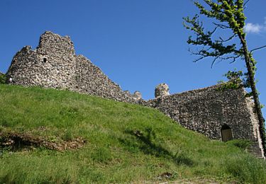
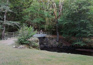
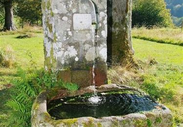
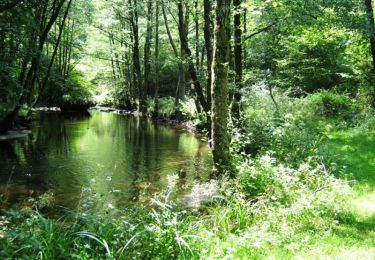
Départ de Darnets, passage au moulin du Lieuteret, la Gayée, bord de la Luzège. On remonte chez le Prince, retour par le Montusclat et les Roussilles
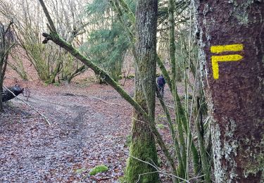
Walking

Mountain bike
Walking
Walking
Walking
Mountain bike

Walking
Walking
