


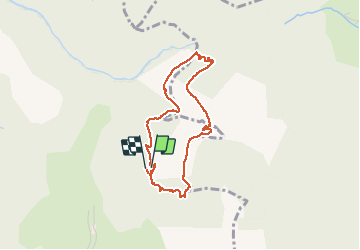

8.1 km | 11.9 km-effort


User


FREE GPS app for hiking
 SityTrail
IGN / Geographical institutes
SityTrail World
The world is yours!
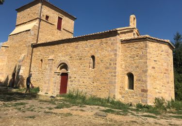
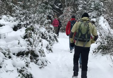
Trail Walking of 3.4 km to be discovered at Auvergne-Rhône-Alpes, Rhône, Chambost-Allières. This trail is proposed by adye.
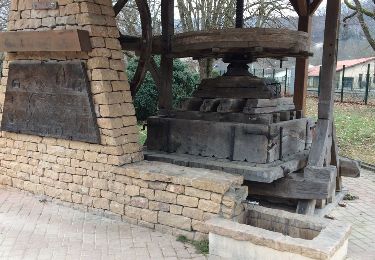
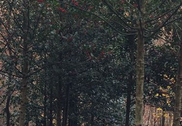
La forêt des expériences, un nouveau sentier de découverte en forêt de la Cantinière
L'Office National des Forêts (ONF) a réalisé pour le Département du Rhône un sentier de découverte jouant sur les expériences sensorielles sur la commune de Chambost-Alllières dans le Beaujolais. L’objectif ? Valoriser la forêt départementale de la Cantinière tout en proposant une promenade inédite pour les familles : une rencontre riche d’émotions avec la forêt.

Walking
Walking
Walking
Walking
Walking
Walking
Walking
Walking
Walking