Trail Walking Orschwihr - Boucle pour Soultzmatt - Photo

Boucle pour Soultzmatt

© OpenStreetMap contributors
Length
Length
12.4 km
Max alt
Max alt
418 m
Uphill gradient
Uphill gradient
309 m
Km-Effort
Km-Effort  
16.5 km
Min alt
Min alt
235 m
Downhill gradient
Downhill gradient
310 m
Boucle
Boucle
Yes
Creation date :
2021-05-16 06:46:41.804
Updated on :
2021-05-16 17:24:35.333

(0 Reviews)

Walking
Walking
4h04
Difficulty : Medium

Scan this QR Code to open this trail in the SityTrail application

FREE GPS app for hiking

Logo SityTrail SityTrail

IGN / Geographical institutes

Download SityTrail from the App Store Download SityTrail from Google Play

Logo SityTrail SityTrail World

The world is yours!

Download SityTrail from the App Store Download SityTrail from Google Play Download SityTrail on Huawei AppGallery

About

Trail Walking of 12.4 km to be discovered at Grand Est, Haut-Rhin, Orschwihr. This trail is proposed by GuyVachet.

Description

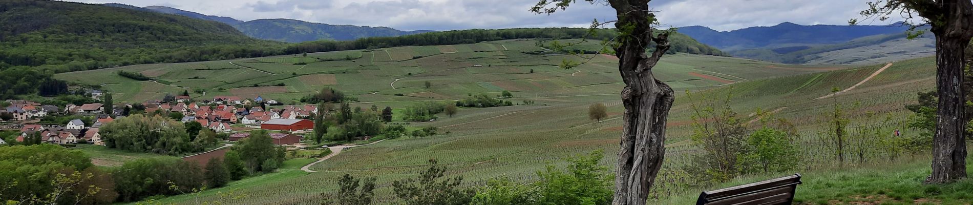
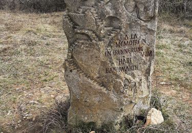
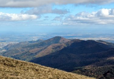
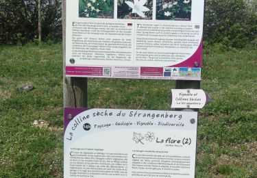
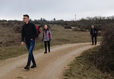
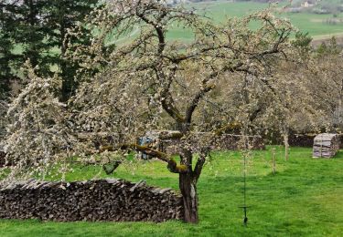
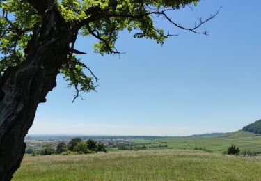
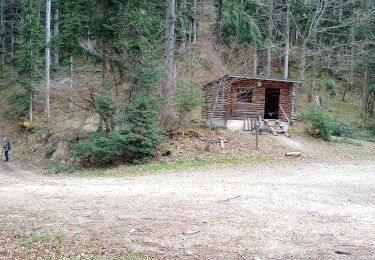
Boucle entre forêt et vignes entre 2 beaux villages de la Route des Vins. La première partie démarre gentiment après avoir obliqué après la Chapelle de St-Wolfgang, passe au Château de Stettenberg dont il ne subsiste que les ruines du donjon puis la montée se termine à la Chapelle Sainte-Marie. Un Chemin de Croix est visible dès le début de la descente sur Soultzmatt, petit crochet par le "menhir" de Langenstein puis les Rochers du Grossfels offrent une beau point de vue sur Soultzmatt et au-delà. La traversée de ce village suit la rivière Ohmbach avant de prendre pied sur la colline de Bollenberg et ses vignes. Passage par la Chapelle du Bollenberg avant de revenir au point de départ.

Elevation profile

Photos

Positioning

Country:
France
Region :
Grand Est
Department/Province :
Haut-Rhin
Municipality :
Orschwihr
Location:
Unknown
Start:(UTM)
367992 ; 5310502 (32T) N.

Trails nearby

Trail Walking Westhalten - 2021 03 04 Westhalten - Photo
Walking
E.BURCK

Walking

Easy
(1)
Westhalten, Grand Est, Haut-Rhin, France
7.7 km | 11.3 km-effort
2h 21min
Yes
Trail Walking Rouffach - suuntoapp-Hiking-2023-10-22T08-43-15Z - Photo
Walking
GUIDE
holtzv

Walking

Medium
Rouffach, Grand Est, Haut-Rhin, France
19 km | 33 km-effort
7h 34min
Yes
Trail Walking Rouffach - SityTrail - Rouffach vers Schauenberg variante - Photo
Walking
E.BURCK

Walking

Easy
(1)
Rouffach, Grand Est, Haut-Rhin, France
10.6 km | 15.3 km-effort
3h 29min
Yes
Trail Mountain bike Westhalten - Westhalten - Le tour de la vallée Noble - Photo
Mountain bike
sit68000

Mountain bike

Difficult
(1)
Westhalten, Grand Est, Haut-Rhin, France
24 km | 33 km-effort
2h 30min
Yes
Trail Walking Westhalten - WESTHALTEN ZINKOEPHLE - Photo
Walking
MarcOBRECHT

Walking

Medium
Westhalten, Grand Est, Haut-Rhin, France
10.6 km | 15.3 km-effort
2h 56min
Yes
Trail Walking Westhalten - Westhalten - Rouffach  - Photo
Walking
Richard68500

Walking

Difficult
Westhalten, Grand Est, Haut-Rhin, France
8.9 km | 13 km-effort
3h 22min
Yes
Trail Walking Soultzmatt - Rando du 30/03/2034 - Photo
Walking
boubou68

Walking

Difficult
Soultzmatt, Grand Est, Haut-Rhin, France
19.5 km | 29 km-effort
4h 32min
Yes
Trail Mountain bike Rouffach - Rouffach - Guebwiller - Photo
Mountain bike
duchaine.nicolas

Mountain bike

Easy
Rouffach, Grand Est, Haut-Rhin, France
32 km | 44 km-effort
3h 3min
No
Trail Walking Buhl - Wolfsgrube (4/3/2021) - Photo
Walking
Richard68500

Walking

Medium
Buhl, Grand Est, Haut-Rhin, France
12 km | 19 km-effort
3h 39min
Yes


Close
My subscriptions