


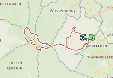

12.7 km | 20 km-effort

User GUIDE


FREE GPS app for hiking
 SityTrail
IGN / Geographical institutes
SityTrail World
The world is yours!
Trail Walking of 19 km to be discovered at Grand Est, Haut-Rhin, Rouffach. This trail is proposed by holtzv.
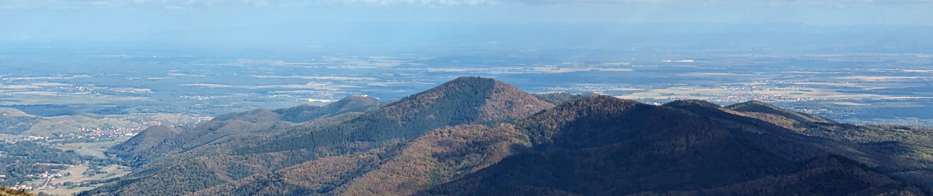
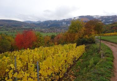
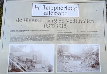
Marche en boucle au départ de Wintzfelden en passant par le Rehfelsen, le col de boenlesgrab, le refuge de la Schellimatt, le petit ballon, une pause gourmande à l'auberge Rothenbrunnen, l'auberge Kahlenwasen, et la descente par l'Hirtzenstein.


Walking
Walking

On foot

Walking
Walking

Mountain bike
Walking
Walking

Walking