


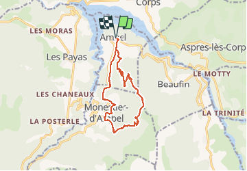


10.6 km | 24 km-effort

User


FREE GPS app for hiking
 SityTrail
IGN / Geographical institutes
SityTrail World
The world is yours!
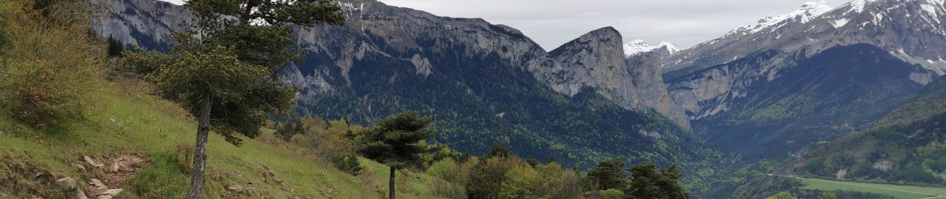
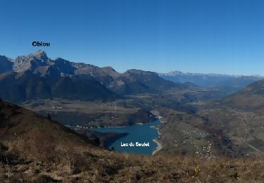
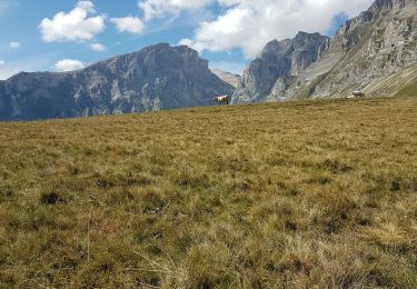
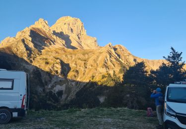
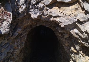
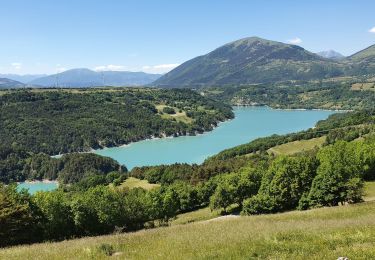
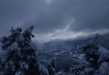
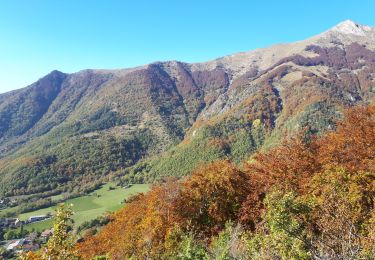
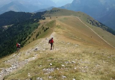
Trail Walking of 13.4 km to be discovered at Auvergne-Rhône-Alpes, Isère, Ambel. This trail is proposed by PapouBertrand.


33 photos in total. Please click on a photo to see them all in the gallery.
Walking
Walking
Walking
Walking
Walking
Touring skiing
Touring skiing
Walking
Walking