


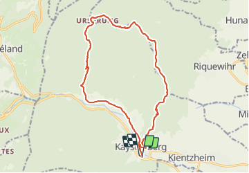

17.1 km | 25 km-effort


User GUIDE


FREE GPS app for hiking
 SityTrail
IGN / Geographical institutes
SityTrail World
The world is yours!
Trail Walking of 17.1 km to be discovered at Grand Est, Haut-Rhin, Kaysersberg-Vignoble. This trail is proposed by holtzv.
Marche depuis Kaysersberg en passant par l'Ursprung, la chapelle St Alexis pour la pause repas avec la belle vue, le chêne de la chapelle, le rocher des Corbeaux et le château de Kaysersberg.


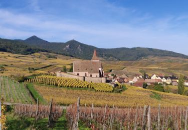
Walking

Walking
Horseback riding

Walking
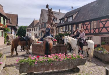
Horseback riding

Walking

Walking
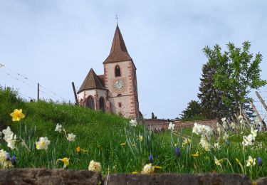
Walking

Walking