


l'Ouillon - le grand Truc

laurentnecca
User

Length
15.6 km

Max alt
2420 m

Uphill gradient
1010 m
Km-Effort
29 km

Min alt
1677 m

Downhill gradient
1011 m
Boucle
Yes
Creation date :
2021-06-26 07:24:33.056
Updated on :
2021-06-26 14:55:55.509
5h54
Difficulty : Very difficult

FREE GPS app for hiking
 SityTrail
IGN / Geographical institutes
SityTrail Plus
The world is yours!
About
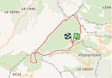
Trail Walking of 15.6 km to be discovered at Auvergne-Rhône-Alpes, Savoy, Fontcouverte-la-Toussuire. This trail is proposed by laurentnecca.
Positioning
Country:
France
Region :
Auvergne-Rhône-Alpes
Department/Province :
Savoy
Municipality :
Fontcouverte-la-Toussuire
Location:
Unknown
Start:(Dec)
Start:(UTM)
285081 ; 5014871 (32T) N.
Comments