


GR10U2

LouisROGER
User GUIDE

Length
5.7 km

Max alt
2255 m

Uphill gradient
881 m
Km-Effort
14.5 km

Min alt
1364 m

Downhill gradient
12 m
Boucle
No
Creation date :
2021-07-01 06:51:15.482
Updated on :
2021-07-01 14:41:41.97
5h41
Difficulty : Difficult

FREE GPS app for hiking
 SityTrail
IGN / Geographical institutes
SityTrail Plus
The world is yours!
About
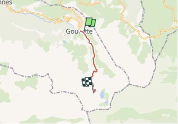
Trail Walking of 5.7 km to be discovered at New Aquitaine, Pyrénées-Atlantiques, Eaux-Bonnes. This trail is proposed by LouisROGER.
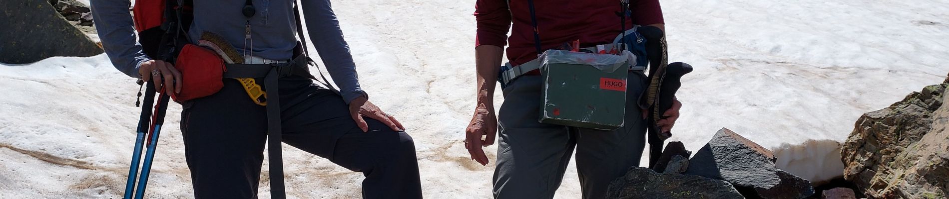
Photos


Positioning
Country:
France
Region :
New Aquitaine
Department/Province :
Pyrénées-Atlantiques
Municipality :
Eaux-Bonnes
Location:
Unknown
Start:(Dec)
Start:(UTM)
717873 ; 4759463 (30T) N.
Comments