


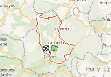


11.9 km | 17.3 km-effort

User


FREE GPS app for hiking
 SityTrail
IGN / Geographical institutes
SityTrail World
The world is yours!
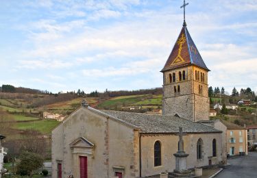
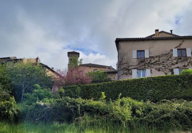
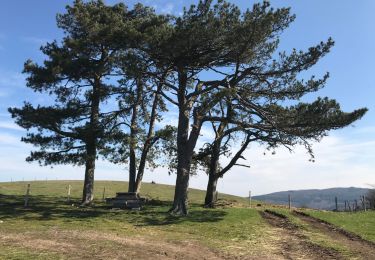
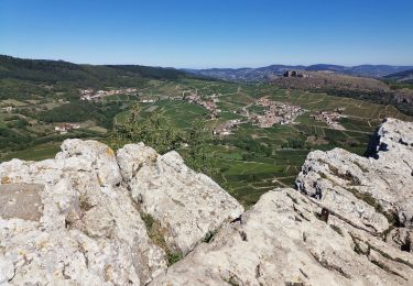
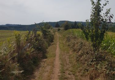
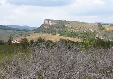
Trail Walking of 16.6 km to be discovered at Auvergne-Rhône-Alpes, Rhône, Cenves. This trail is proposed by darrisa.
Marche assez escapee mais très belle nature sauvage


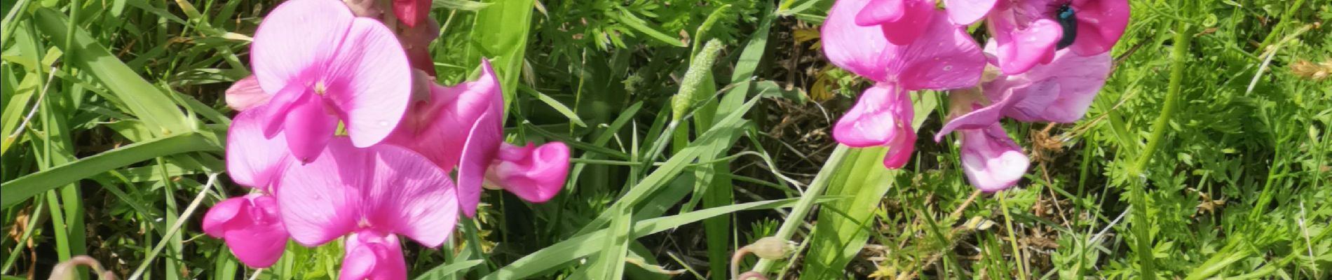
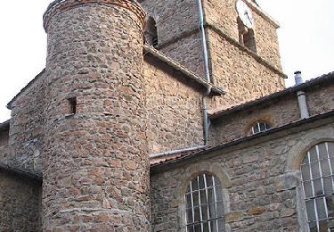
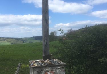
22 photos in total. Please click on a photo to see them all in the gallery.
Walking
Walking

Mountain bike
On foot
Walking
Walking
Walking
Running
Walking