


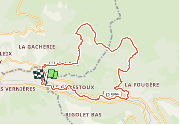


17.7 km | 24 km-effort


User


FREE GPS app for hiking
 SityTrail
IGN / Geographical institutes
SityTrail World
The world is yours!
Trail Walking of 11.1 km to be discovered at Auvergne-Rhône-Alpes, Puy-de-Dôme, La Bourboule. This trail is proposed by rolandmonjean.
ascension puis gros de la Bourboule retour le long de la Dordogne


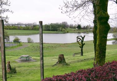
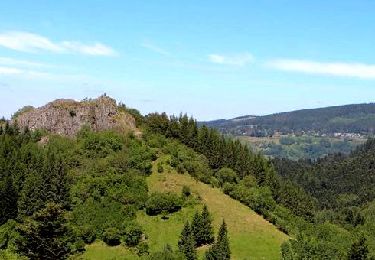
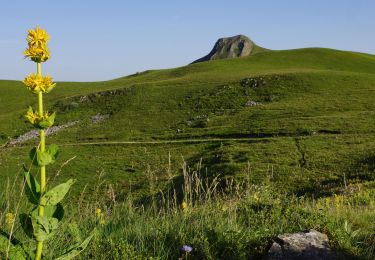
27 photos in total. Please click on a photo to see them all in the gallery.
Walking

Walking
Walking
Walking

Walking

Walking

Walking

Walking

Walking