Trail Mountain bike Dallon - pays de ham - Photo
© OpenStreetMap contributors
Length
Length
56 km
Max alt
Max alt
98 m
Uphill gradient
Uphill gradient
356 m
Km-Effort
Km-Effort  
61 km
Min alt
Min alt
58 m
Downhill gradient
Downhill gradient
357 m
Boucle
Boucle
Yes
Creation date :
2021-07-11 12:31:51.101
Updated on :
2021-07-14 10:11:05.612

(0 Reviews)

Mountain bike
Mountain bike
4h21
Difficulty : Very easy

Scan this QR Code to open this trail in the SityTrail application

FREE GPS app for hiking

Logo SityTrail SityTrail

IGN / Geographical institutes

Download SityTrail from the App Store Download SityTrail from Google Play

Logo SityTrail SityTrail World

The world is yours!

Download SityTrail from the App Store Download SityTrail from Google Play Download SityTrail on Huawei AppGallery

About

Trail Mountain bike of 56 km to be discovered at Hauts-de-France, Aisne, Dallon. This trail is proposed by alainwald.
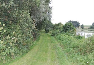
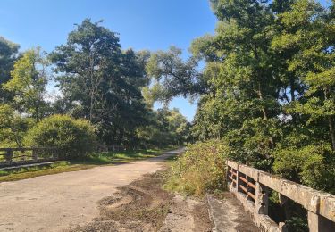
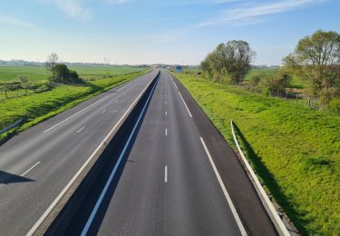
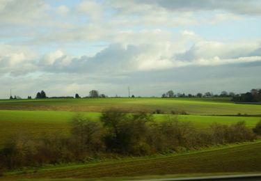
Description

plutôt plat.
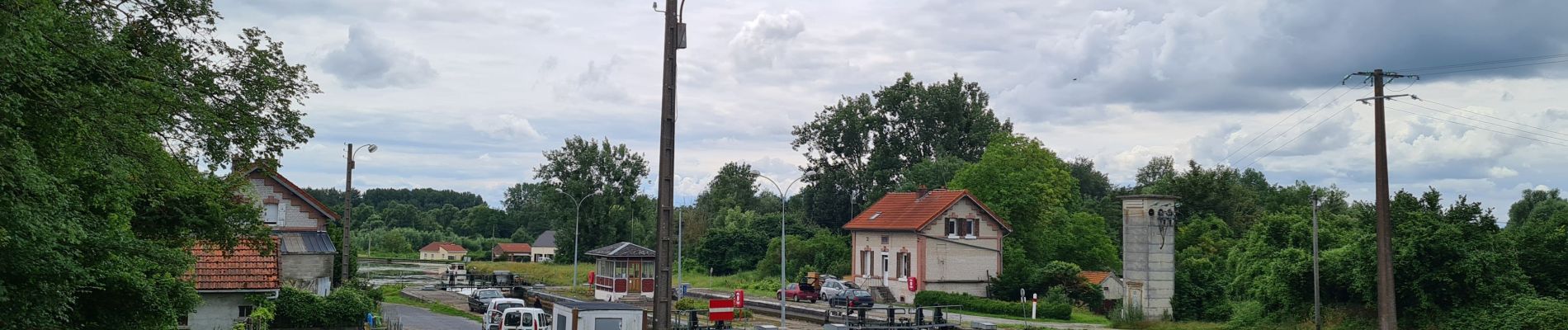
passage le long du canal de la D56 à Ham pour baroudeur uniquement. Pour les autres prendre la départementale jusque Dury.

Elevation profile

Photos

Positioning

Country:
France
Region :
Hauts-de-France
Department/Province :
Aisne
Municipality :
Dallon
Location:
Unknown
Start:(UTM)
517587 ; 5518847 (31U) N.

Trails nearby

Trail Mountain bike Holnon - Les sentiers vermandois - Holnon - Photo
Mountain bike
tracegps

Mountain bike

Medium
(1)
Holnon, Hauts-de-France, Aisne, France
26 km | 30 km-effort
2h 19min
Yes
Trail Mountain bike Castres - Parcours fontaines les clercs - Photo
Mountain bike
alainwald

Mountain bike

Easy
Castres, Hauts-de-France, Aisne, France
52 km | 57 km-effort
4h 14min
Yes
Trail Walking Urvillers - parcours urvillers moy de l'aisne - Photo
Walking
alainwald

Walking

Easy
Urvillers, Hauts-de-France, Aisne, France
21 km | 23 km-effort
3h 55min
Yes
Trail Walking Saint-Quentin - Le marais d'Isle - Photo
Walking

Walking

Very easy
Saint-Quentin, Hauts-de-France, Aisne, France
5.4 km | 6 km-effort
Unknown
Yes
Trail Walking Saint-Quentin - Parc d'isle - Photo
Walking
JJDOLLE

Walking

Very easy
Saint-Quentin, Hauts-de-France, Aisne, France
5.9 km | 6.5 km-effort
1h 40min
Yes
Trail Walking Saint-Quentin - Du canal au chemin de fer - Saint-Quentin - Photo
Walking
tracegps

Walking

Medium
Saint-Quentin, Hauts-de-France, Aisne, France
7.2 km | 8.3 km-effort
2h 0min
Yes
Trail Walking Seraucourt-le-Grand - Fontaine - Photo
Walking
tracegps

Walking

Medium
Seraucourt-le-Grand, Hauts-de-France, Aisne, France
9.1 km | 9.9 km-effort
2h 30min
Yes
Trail Walking Saint-Quentin - La pâturelle - Photo
Walking
tracegps

Walking

Very difficult
Saint-Quentin, Hauts-de-France, Aisne, France
14.6 km | 16.4 km-effort
4h 0min
Yes
Trail Walking Saint-Quentin - Le marais d'Isle - Photo
Walking
tracegps

Walking

Easy
Saint-Quentin, Hauts-de-France, Aisne, France
5.4 km | 6 km-effort
1h 30min
Yes


Close
My subscriptions