


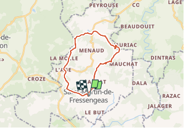

12 km | 14.4 km-effort


User


FREE GPS app for hiking
 SityTrail
IGN / Geographical institutes
SityTrail World
The world is yours!
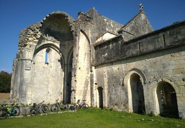
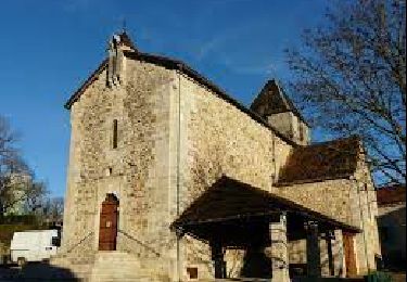
Trail Walking of 12.6 km to be discovered at New Aquitaine, Dordogne, Saint-Martin-de-Fressengeas. This trail is proposed by Marc 24.
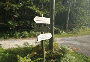
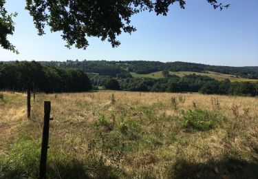
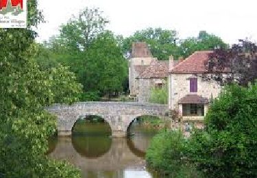
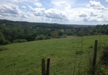
Boucle bleue locale « Amis des chemins » écourtée en prenant une courte portion du GR 654 après le lieu dit “Lâge”soit environ au total 12 km. Balisage bleu local excellent. Chemins et sentiers bien entretenus . Balade à faire par temps secs ( nombreuses zones humides). Beaux paysages en nature préservée.


Walking
Mountain bike
Walking

Running
Walking
Walking
Walking

On foot

Walking
Merci, joli paysage et charmant village. Audier