


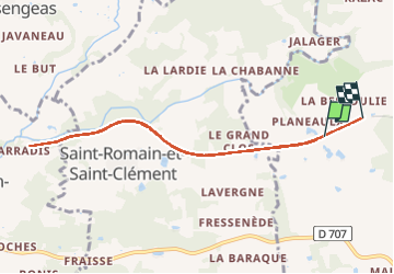

12 km | 14.4 km-effort


User


FREE GPS app for hiking
 SityTrail
IGN / Geographical institutes
SityTrail World
The world is yours!
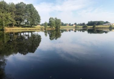
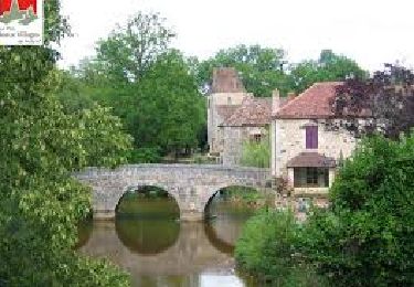
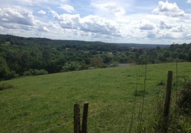
Trail Walking of 8.3 km to be discovered at New Aquitaine, Dordogne, Thiviers. This trail is proposed by Caillaud.
D te ex
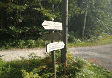
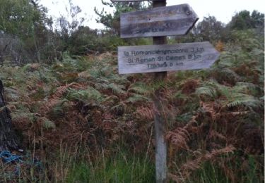
Walking

Mountain bike
Walking
Walking
Walking
Walking
Walking

Walking

On foot