


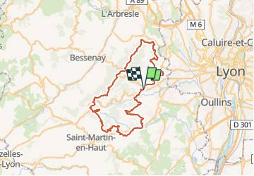

10.3 km | 13.1 km-effort

User


FREE GPS app for hiking
 SityTrail
IGN / Geographical institutes
SityTrail World
The world is yours!
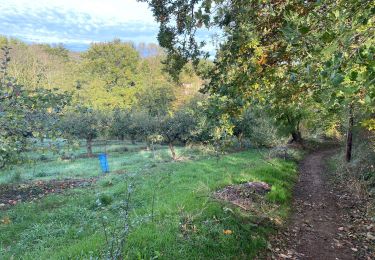
Trail Mountain bike of 63 km to be discovered at Auvergne-Rhône-Alpes, Rhône, Vaugneray. This trail is proposed by dup69.
un départ de Vaugneray très roulant sans trop d'intérêt (urbain) les 10premiers km (qui peut être modifié).
pour le reste ça roule bien pas de très grosses difficultés mais physique part le dénivelé et la distance...

Walking

Walking
Walking
Walking

Walking
Walking

Mountain bike
Mountain bike
Mountain bike