


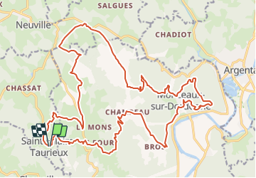

9.7 km | 14.8 km-effort


User


FREE GPS app for hiking
 SityTrail
IGN / Geographical institutes
SityTrail World
The world is yours!
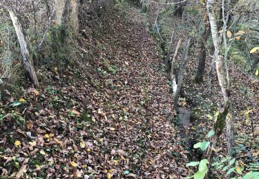
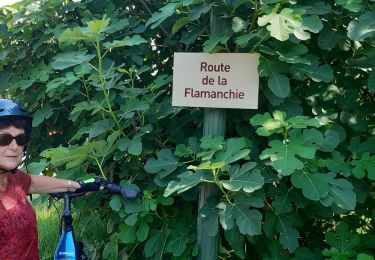
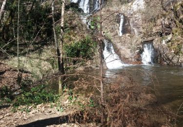
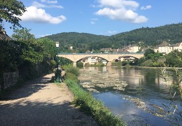
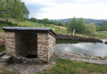
Trail Mountain bike of 31 km to be discovered at New Aquitaine, Corrèze, Saint-Hilaire-Taurieux. This trail is proposed by Gpoujade.
Walking

Mountain bike
Walking
Walking
Walking
Bicycle tourism
Walking
Other activity
Walking