


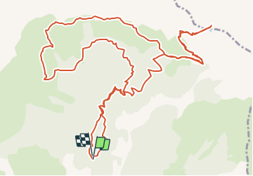


9.6 km | 16.3 km-effort

User


FREE GPS app for hiking
 SityTrail
IGN / Geographical institutes
SityTrail World
The world is yours!
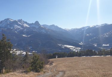
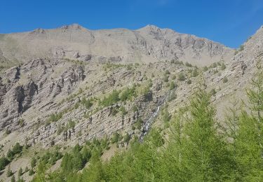
Trail Walking of 18.3 km to be discovered at Provence-Alpes-Côte d'Azur, Alpes-de-Haute-Provence, Saint-Pons. This trail is proposed by Dervalmarc.
dénivelé important. Ainsi que la distance 20 km.
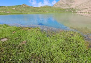
Nombreux vallons suspendus de toute beauté.
Très longue randonnée
Nombreuses marmottes tout au long du parcours


Walking
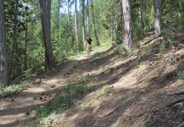
Mountain bike
Walking

Walking
Walking
Walking

Touring skiing
Walking
Walking