


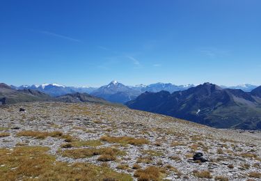
17.9 km | 27 km-effort

User


FREE GPS app for hiking
 SityTrail
IGN / Geographical institutes
SityTrail World
The world is yours!
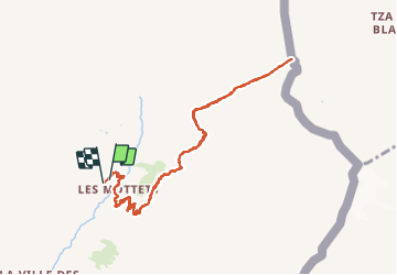
Trail Walking of 10.1 km to be discovered at Auvergne-Rhône-Alpes, Savoy, Bourg-Saint-Maurice. This trail is proposed by Hugues Michel.
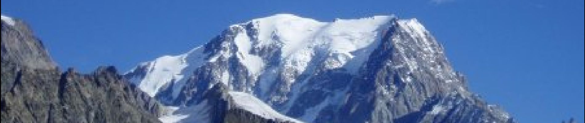
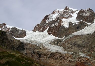
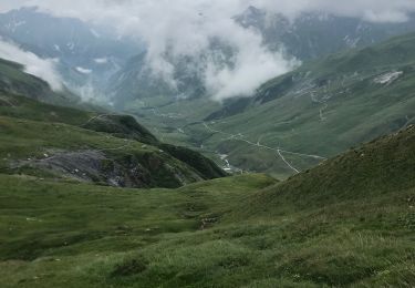
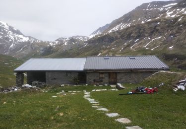
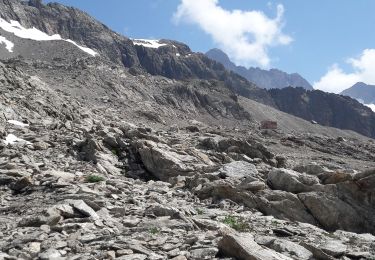
Au départ de la vallée des Chapieux, prendre la navette jusqu'aux parking des Mottets. On se dirige ensuite jusqu'à la frontière franco-italienne, au Col de la Seigne à 2516m. Lors de la montée vue sur l'aiguille des Glaciers. A l'arrivée, vue imprenable sur le Mont-Blanc côté italien.


On foot
On foot
Walking
Walking
Touring skiing
Walking
Walking
Walking
Walking