


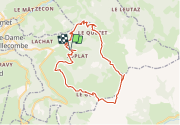

10.2 km | 17.6 km-effort


User


FREE GPS app for hiking
 SityTrail
IGN / Geographical institutes
SityTrail World
The world is yours!
Trail Walking of 19.4 km to be discovered at Auvergne-Rhône-Alpes, Savoy, Notre-Dame-de-Bellecombe. This trail is proposed by joelinou.
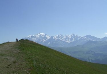
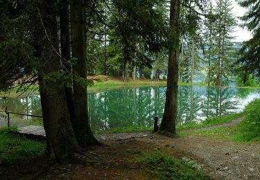
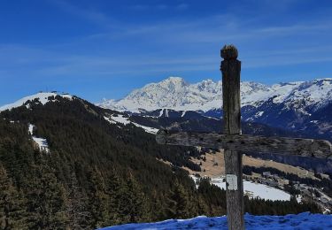
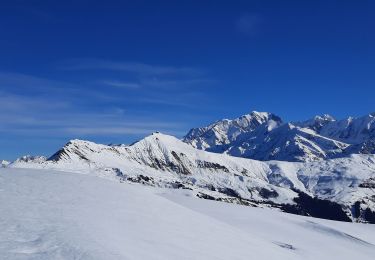
Magnifique rando en crête


Walking
Walking

Walking
Walking

Walking
Walking
Snowshoes
Walking
Walking