


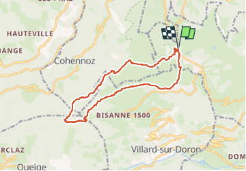

18.1 km | 28 km-effort

User


FREE GPS app for hiking
 SityTrail
IGN / Geographical institutes
SityTrail World
The world is yours!
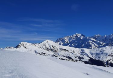
Trail Snowshoes of 15.3 km to be discovered at Auvergne-Rhône-Alpes, Savoy, Hauteluce. This trail is proposed by ranchoup.
Très beau tour à faire dans le sens inverse des aiguille d'une montre.
ATTENTION en cas de neige instable, risque d'avalanche le long de la route forestière avant d'arriver à la cabane de Varzeron notamment au droit de la combe au km 5, point Latitude:45,74720 Longitude:6,49293.
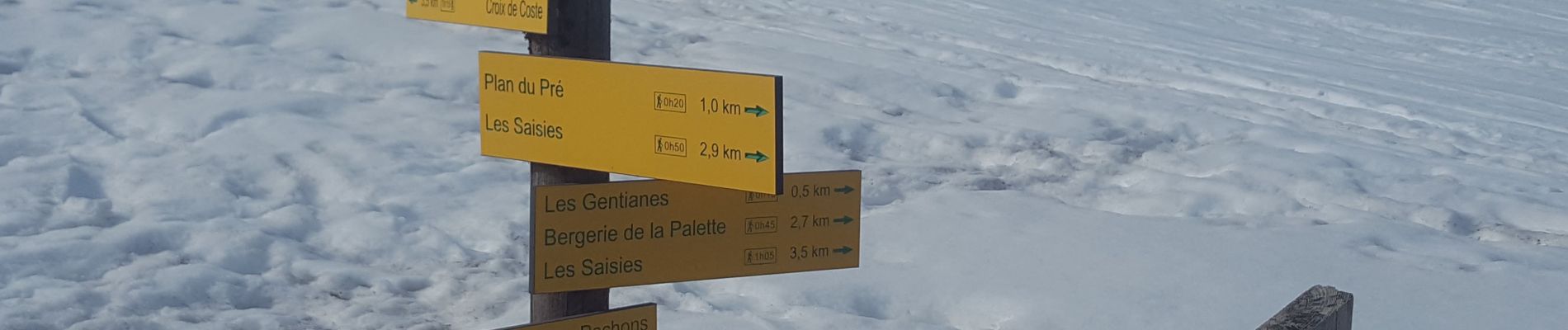
De même la remontée vers la Croix de la Coste, chemin bien tracé mais peut être délicat en présence de neige.
Rando qui doit être belle à faire également en été.


Walking

Cycle

Mountain bike

Walking
Walking

Walking
Walking
Walking
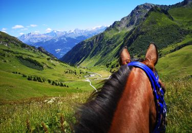
Horseback riding