


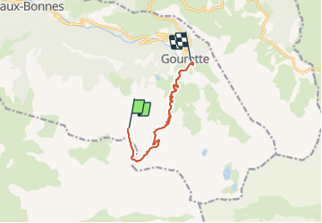

11.4 km | 26 km-effort


User


FREE GPS app for hiking
 SityTrail
IGN / Geographical institutes
SityTrail World
The world is yours!
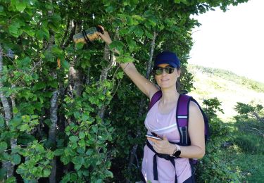
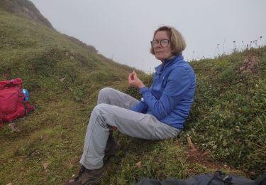
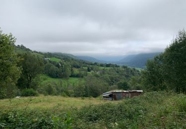
Trail Walking of 7.6 km to be discovered at New Aquitaine, Pyrénées-Atlantiques, Eaux-Bonnes. This trail is proposed by patetl.
rando montagne au salon et au pic de ger. passage aérien et délicat entre ces 2 sommets réservé à des montagnards avertis.

Walking

On foot
On foot
On foot
On foot
On foot
Walking
Walking
Walking