


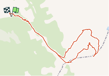


8.9 km | 14.9 km-effort


User


FREE GPS app for hiking
 SityTrail
IGN / Geographical institutes
SityTrail World
The world is yours!
Trail Walking of 14.7 km to be discovered at Provence-Alpes-Côte d'Azur, Hautes-Alpes, Vars. This trail is proposed by PapouBertrand.
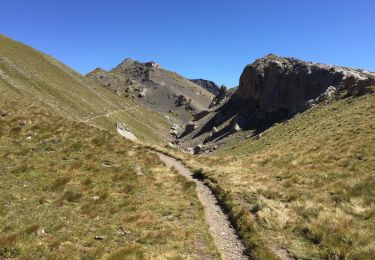
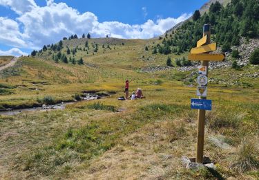
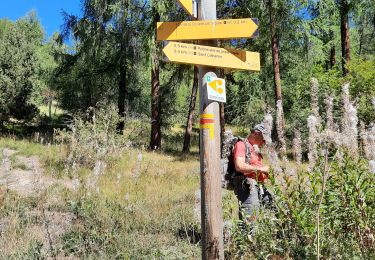
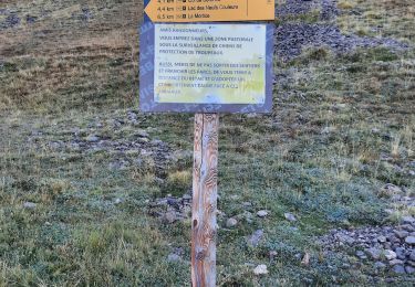
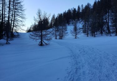
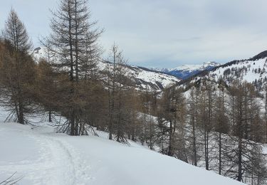
Randonnée Marche de 15 km, 1000 mètres de dénivelé jusqu'à 3180 m d'altitude, à découvrir à Vars, Hautes-Alpes, Provence-Alpes-Côte d'Azur. Le gouffre le plus bas et le plus grand est à voir. Attention, sur la crête entre les deux Mortices, un très court passage nécessite d'y mettre les mains, la boucle retour au départ de la Mortice nord est non tracée et potentiellement dangereuse.


Walking

Walking

Walking

Other activity
Mountain bike
Walking
Walking
Snowshoes
Snowshoes