


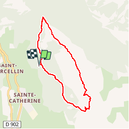

8.9 km | 14.9 km-effort

User


FREE GPS app for hiking
 SityTrail
IGN / Geographical institutes
SityTrail World
The world is yours!
Trail Walking of 7.7 km to be discovered at Provence-Alpes-Côte d'Azur, Hautes-Alpes, Vars. This trail is proposed by BLANCHET.
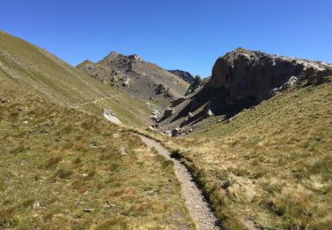
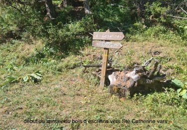
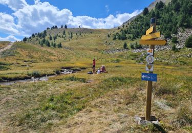
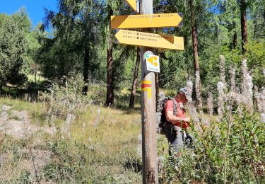
rando très agréable sur les crêtes entre la vallée de Vars, très verdoyante et le Val d'' Escrein, vertigineux,minéral.


Walking

Walking

Other activity
Walking
Mountain bike
Walking
Walking
Walking

Walking
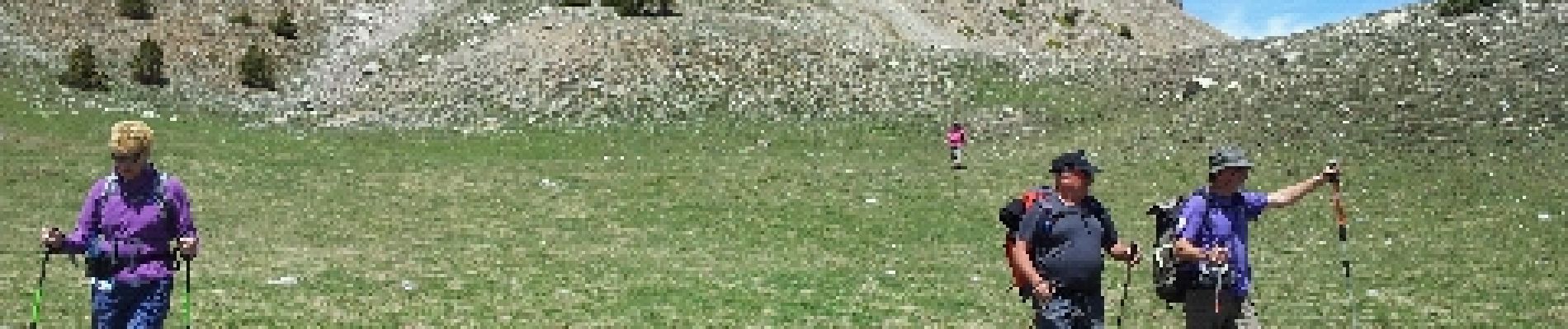
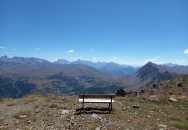
Très belle promenade, vue aérienne sur la partie crête; nous avons suivi le sens des aiguilles d"une montre pour éviter la montée rude Coulette-crête...qu'il a fallu descendre. Accès et parking facile à l'endroit indiqué
super