


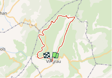

9.5 km | 12.4 km-effort


User GUIDE


FREE GPS app for hiking
 SityTrail
IGN / Geographical institutes
SityTrail World
The world is yours!
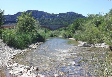
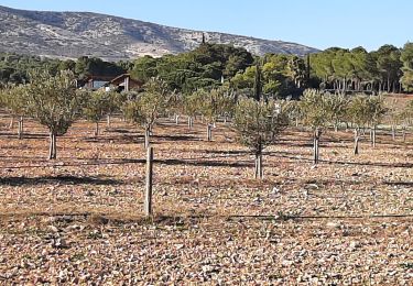
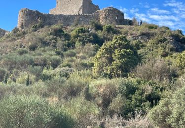
Trail Walking of 15.5 km to be discovered at Occitania, Pyrénées-Orientales, Vingrau. This trail is proposed by Ada11.
Belle rando, surtout la moitié sur le relief. À ne pas faire en cas de chaleur ou de pluie.


Walking

Walking
Walking


Walking
Walking

Walking

Walking

Walking