


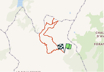

8.4 km | 11.7 km-effort

User


FREE GPS app for hiking
 SityTrail
IGN / Geographical institutes
SityTrail World
The world is yours!
Trail Walking of 17 km to be discovered at Auvergne-Rhône-Alpes, Savoy, Aime-la-Plagne. This trail is proposed by flip38.
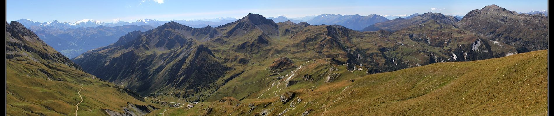
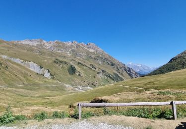
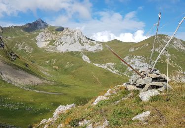
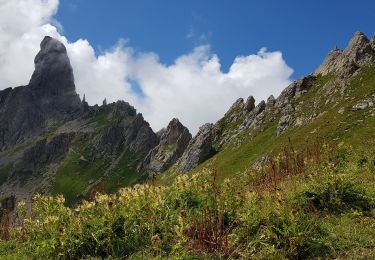
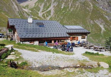
Belle randonnée vers ce sommet panoramique du Beaufortain.
Traversée de nombreux alpages, on est vraiment ici dans le pays du fromage de Beaufort.
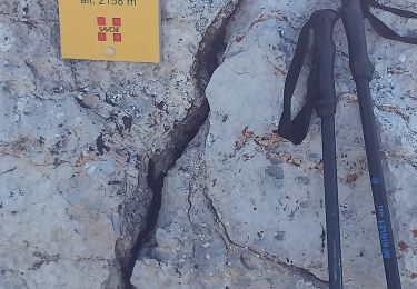
Pas de difficulté technique mais la montée finale est soutenue, mais la récompense est au rendez-vous.
D'autres informations sur mon site : http://surlessommets.blog.free.fr/


Walking

Walking
Walking

Snowshoes
Walking
Walking
Walking
Walking
Walking