


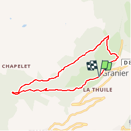

8.4 km | 11.7 km-effort


User


FREE GPS app for hiking
 SityTrail
IGN / Geographical institutes
SityTrail World
The world is yours!
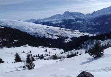
Trail Walking of 7.3 km to be discovered at Auvergne-Rhône-Alpes, Savoy, Aime-la-Plagne. This trail is proposed by patrando49.
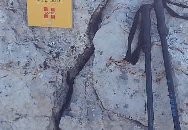
Départ de la table d'orientation au dessus de Granier.

Walking

Walking

Snowshoes
Walking
Walking
Walking
Touring skiing
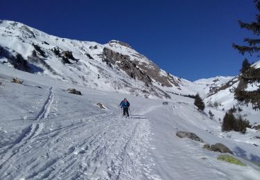
Touring skiing
Walking
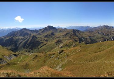
Très joli parcours avec peu de difficultés