


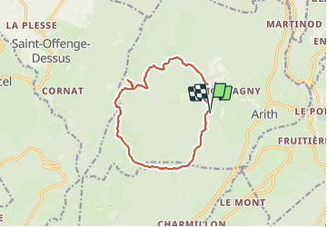

10.5 km | 18.5 km-effort

User


FREE GPS app for hiking
 SityTrail
IGN / Geographical institutes
SityTrail World
The world is yours!
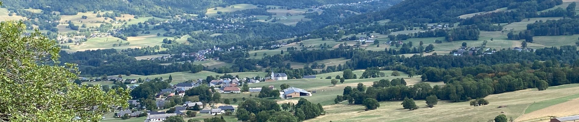
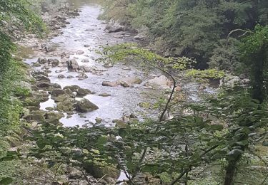
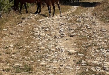
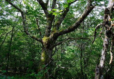
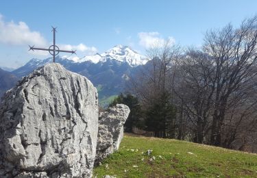
Trail Walking of 12.9 km to be discovered at Auvergne-Rhône-Alpes, Savoy, Arith. This trail is proposed by choubaka77.
Belle boucle sympathique avec un petit refuge très typique à l’ancienne..


Walking
Walking
Walking

Walking

Walking
Walking
On foot

Touring skiing
Walking