


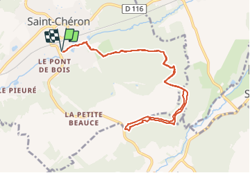

23 km | 29 km-effort

User


FREE GPS app for hiking
 SityTrail
IGN / Geographical institutes
SityTrail World
The world is yours!
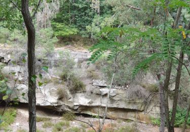
Trail Nordic walking of 10.3 km to be discovered at Ile-de-France, Essonne, Saint-Chéron. This trail is proposed by PascalROBINET.
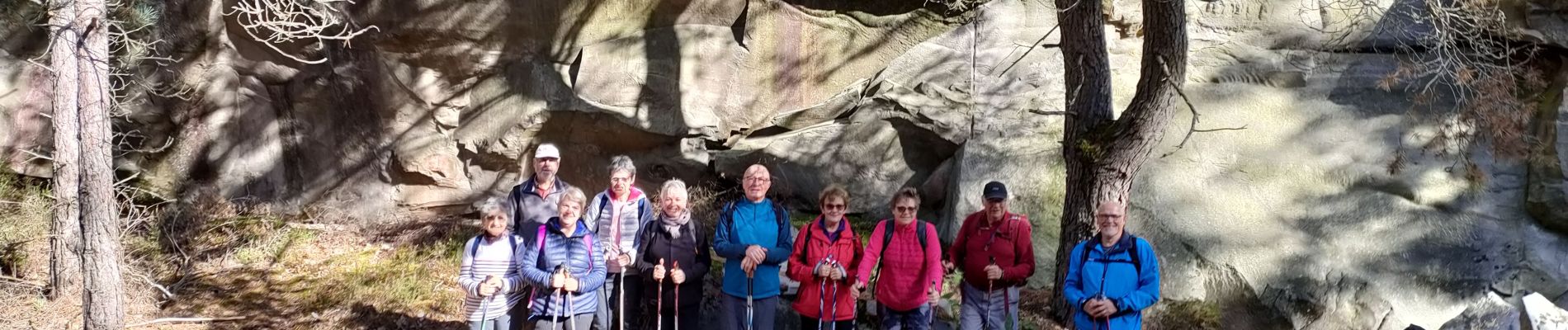
Cette marche nordique était conviviale, avec des temps de pause pour un intérêt historique du site. D'où la durée plus longue pour parcourir 10 kms avec une belle montée au départ.


Walking

Walking
Walking
Walking

Walking
Walking

Walking

On foot
Walking