


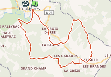

9.5 km | 11.9 km-effort


User


FREE GPS app for hiking
 SityTrail
IGN / Geographical institutes
SityTrail World
The world is yours!
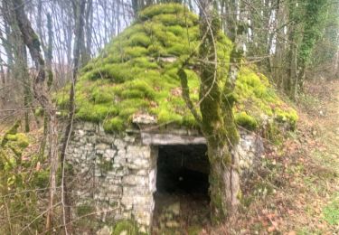
Trail Walking of 13.1 km to be discovered at New Aquitaine, Dordogne, Coulaures. This trail is proposed by swp648.
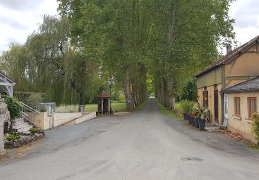
Très agréable, pas de difficulté particulière. Admirez le beau pigeonnier en face du château de La Cousse

Walking

Walking
Walking

Walking
Running
Walking

Walking
Walking
Walking