


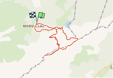

9.7 km | 15.3 km-effort

User


FREE GPS app for hiking
 SityTrail
IGN / Geographical institutes
SityTrail World
The world is yours!
Trail Walking of 9.8 km to be discovered at Auvergne-Rhône-Alpes, Upper Savoy, Mont-Saxonnex. This trail is proposed by djeepee74.
BOUCLE... live 20211015
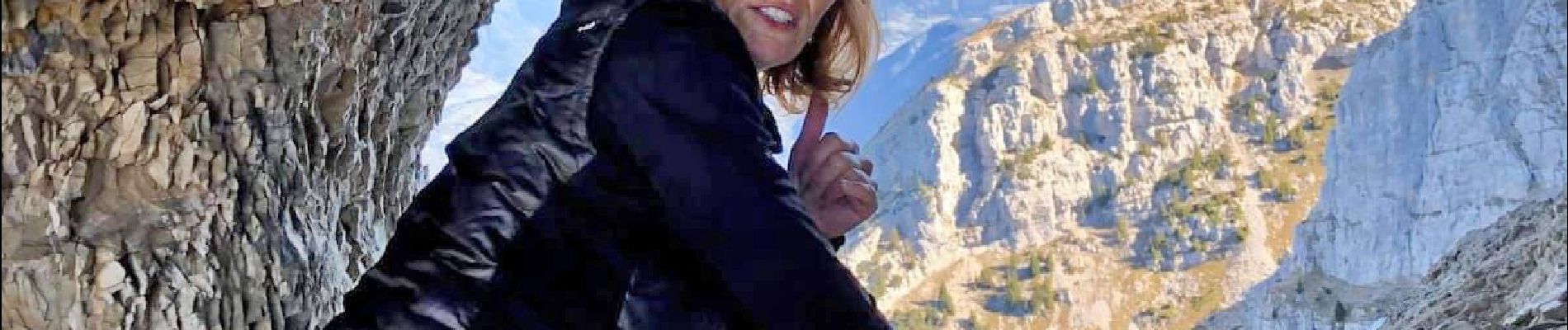
encadrée par "Les Rando Climbers" avec Karine Daguenet: "Riche expérience, tracé impressionnant nécessitant un pied sûr... attention aux chutes de pierres."


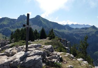
Walking

Walking

Walking

Walking

Walking
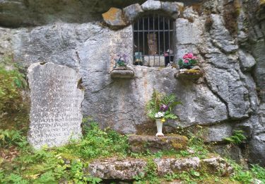
Walking

Walking
Walking

Touring skiing