


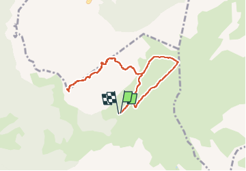

9.7 km | 15.3 km-effort

User


FREE GPS app for hiking
 SityTrail
IGN / Geographical institutes
SityTrail World
The world is yours!
Trail Walking of 8.3 km to be discovered at Auvergne-Rhône-Alpes, Upper Savoy, Glières-Val-de-Borne. This trail is proposed by Celine1217.
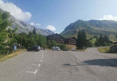
Aller- retour depuis Cenise.
4h30 de ballade avec les pauses.
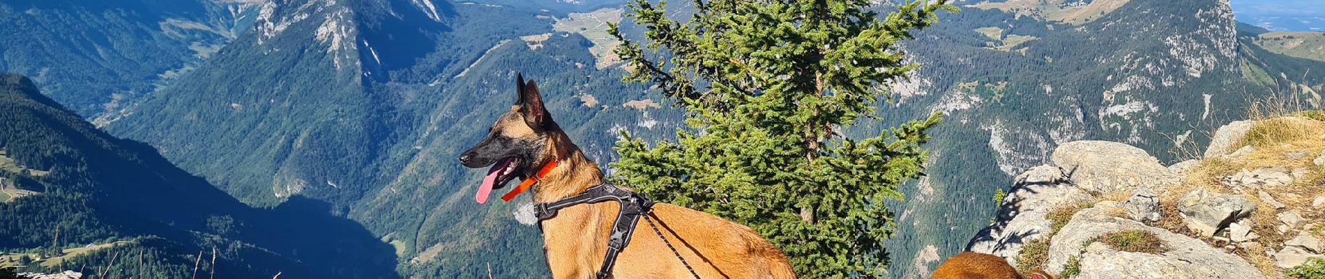
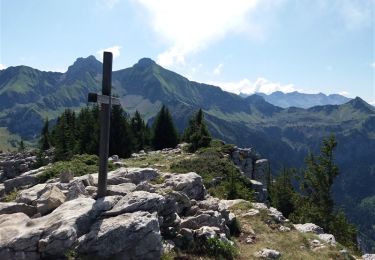
Partie de bonne heure, première en haut et les bouquetins étaient au rendez-vous.
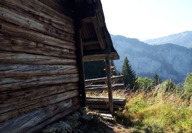
Le restaurant à Cenise ne sert à manger que sur réservation.
Ok chiens - les troupeaux de vache sont facilement évitables. Attention à les tenir en laisse en haut, les bouquetins ne sont pas farouche et la falaise est proche!
Pas d'eau sur le parcours.


Walking

Walking

Walking
Walking

Walking

Walking
Walking
Walking
Walking