


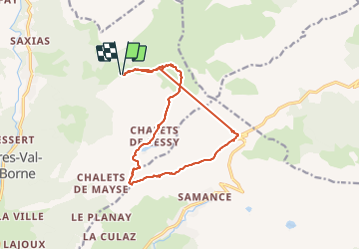

9.7 km | 15.3 km-effort


User


FREE GPS app for hiking
 SityTrail
IGN / Geographical institutes
SityTrail World
The world is yours!
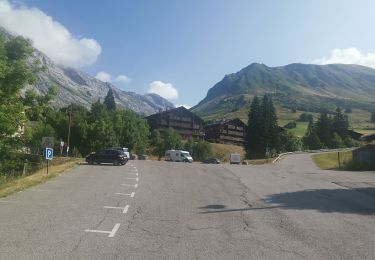
Trail Touring skiing of 14.3 km to be discovered at Auvergne-Rhône-Alpes, Upper Savoy, Glières-Val-de-Borne. This trail is proposed by nadd73.
Départ de Nargéin (puze Cenise). Les difficultés sont le passage des chèvres sous la pointe de Sosay, la descente de l'arête de l'aiguille verte, la descente sous le col du Sosay 40,°sur 50m et la longueur plus de 18km. Le traçage a beugué. Mais tout cela dépend de la qualité de la neige.


Walking

Walking

Walking
Walking

Walking

Walking
Walking
Walking
Walking