


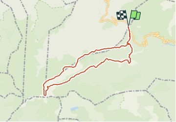


17.9 km | 32 km-effort


User


FREE GPS app for hiking
 SityTrail
IGN / Geographical institutes
SityTrail World
The world is yours!
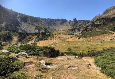
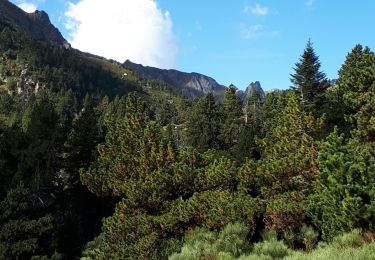
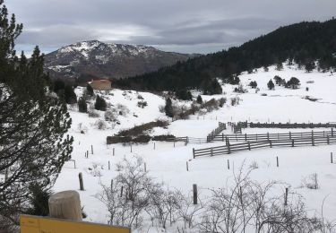
Trail On foot of 16.8 km to be discovered at Occitania, Pyrénées-Orientales, Mosset. This trail is proposed by jeanic63.
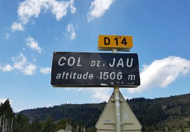
Départ du col de Jau vers le village de Mosset

Walking
Walking
Walking

Walking
Walking
Walking
Snowshoes

Walking

Walking