


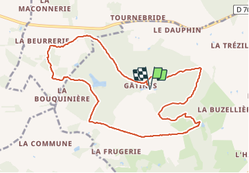


10.3 km | 11.5 km-effort


User


FREE GPS app for hiking
 SityTrail
IGN / Geographical institutes
SityTrail World
The world is yours!
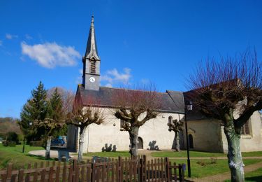
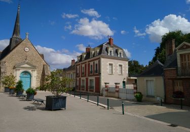
Trail Walking of 10.8 km to be discovered at Centre-Loire Valley, Indre-et-Loire, Villedômer. This trail is proposed by guydu41.
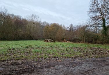
Beau circuit principalement dans le Bois de Gâtines et essentiellement sur des chemins et sentiers avec des franchissements de petits vallons.
Le départ de ce parcours se fait à côté des ruines de l'abbaye de Gâtines et suit tantôt un balisage jaune et/ou bleu et/ou rouge.


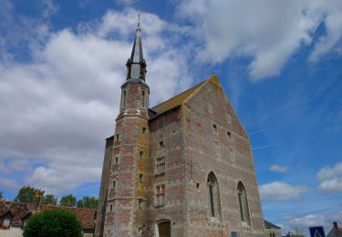
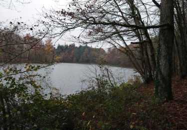
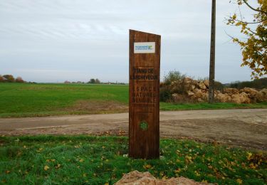
32 photos in total. Please click on a photo to see them all in the gallery.
Walking
Walking
Walking

Walking
Walking

Walking
Walking
Walking

Walking