


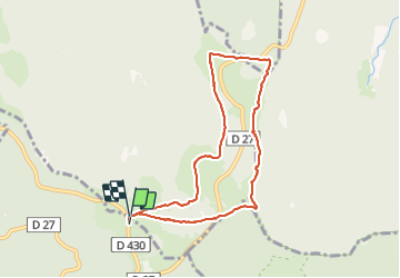


16.8 km | 27 km-effort

User


FREE GPS app for hiking
 SityTrail
IGN / Geographical institutes
SityTrail World
The world is yours!
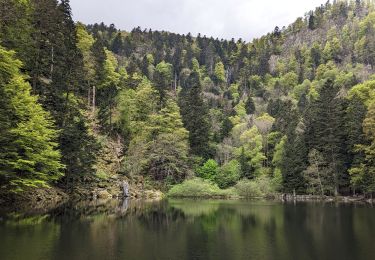
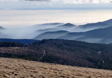
Trail Walking of 7.5 km to be discovered at Grand Est, Haut-Rhin, Oderen. This trail is proposed by helmut68.
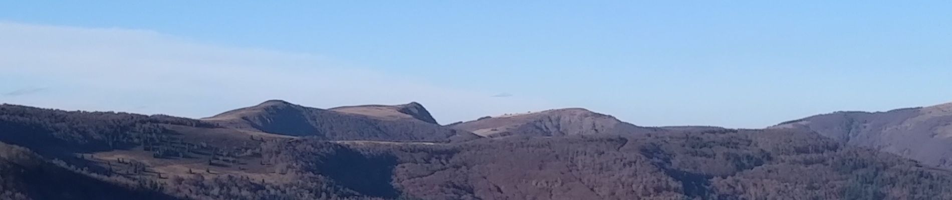
C'est une randonnée sur les hautes chaumes en passant par le Lauchenkopf ( 1314m ) , le Nonselkopf ( 1257m ) , les fermes auberges Uff Rain et Salzbach qui , par endroit où les zones sont ouvertes , vous donnent la sensation de randonner sur le toit du monde...
Départ et arrivée au parking du refuge du Touring Club de Mulhouse au Hahnenbrunnen
Alors à vos chaussures !!!


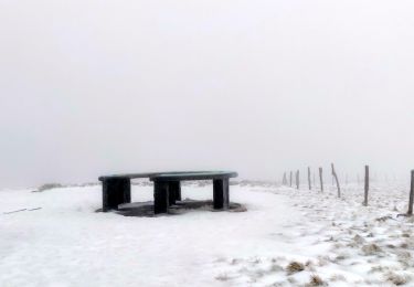
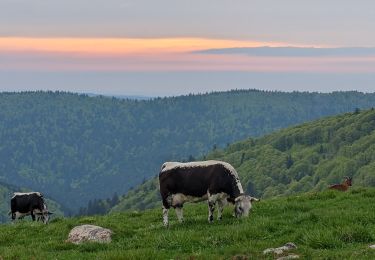
21 photos in total. Please click on a photo to see them all in the gallery.
Walking

Walking
Walking
Walking

On foot
Walking

Walking

Walking

Mountain bike