


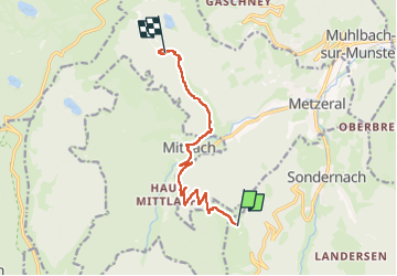

15.1 km | 26 km-effort

User GUIDE


FREE GPS app for hiking
 SityTrail
IGN / Geographical institutes
SityTrail World
The world is yours!
Trail Walking of 9.1 km to be discovered at Grand Est, Haut-Rhin, Sondernach. This trail is proposed by holtzv.
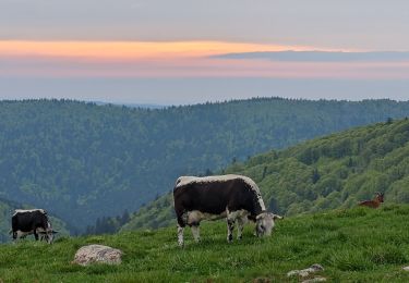
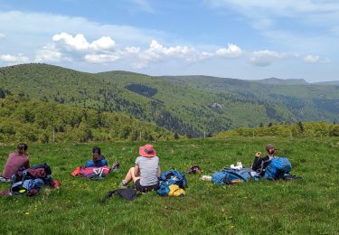
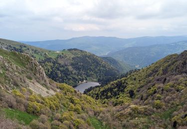
Marche sur 2 jours et demi autour du massif du Hohneck avec deux nuitées en bivouac
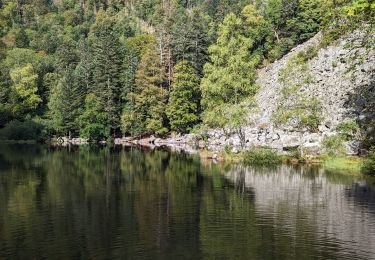
Jour 1/3 : Départ en fin d’après-midi du parking du Schnepfenried pour redescendre sur le village de Mittlach et passer par le sentier de la Wormsa pour rejoindre le lac de Fischboedle pour le bivouac de la nuit. Une gloriette est disponible pour prendre le diner.


Walking

Walking

Walking

Mountain bike
Walking
Walking
Walking
Walking

Walking