


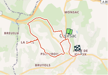

6.6 km | 8.8 km-effort


User


FREE GPS app for hiking
 SityTrail
IGN / Geographical institutes
SityTrail World
The world is yours!
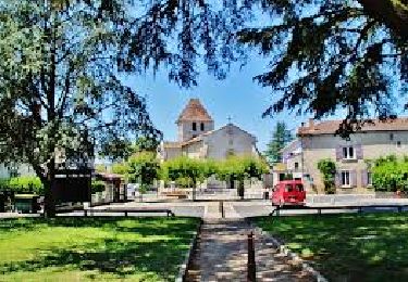
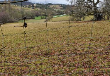
Trail Walking of 9 km to be discovered at New Aquitaine, Dordogne, Coursac. This trail is proposed by fab0202.
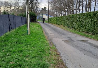
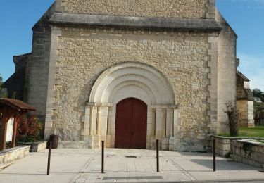
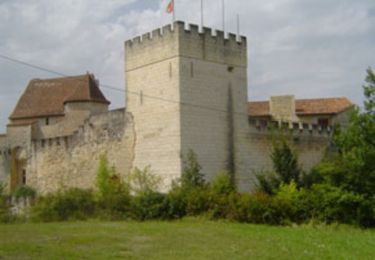
belle rando entre forêt et campagne avec de beaux points de vue avec le chateau de la Jarthe et la découverte de savoirs et fontaine.


Walking
Walking

Nordic walking

Walking
Walking

Walking
Walking
Walking
Walking