


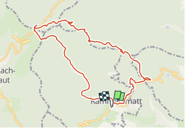

27 km | 40 km-effort

User


FREE GPS app for hiking
 SityTrail
IGN / Geographical institutes
SityTrail World
The world is yours!
Trail Walking of 10.8 km to be discovered at Grand Est, Haut-Rhin, Rammersmatt. This trail is proposed by Richard68500.
Départ de Rummersmatt direction Hundsrück, repas de
midi dans l'excellent restau "La Fourmi".
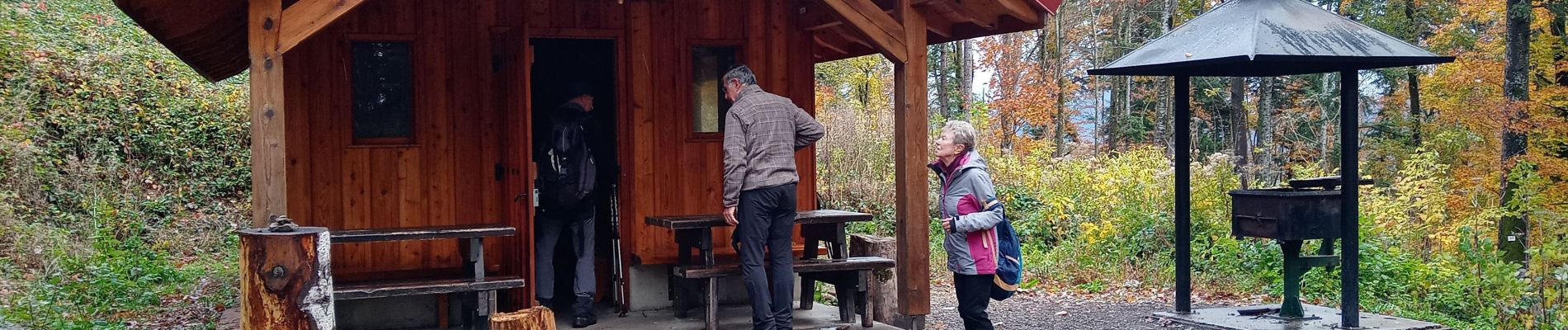
 - Photo 1")
 - Photo 2")

Walking

Other activity

Walking

Walking

On foot

On foot

Walking
On foot
Walking