Trail Walking Duranus - L'Engarvin - cime de Roccasierra  - Photo

L'Engarvin - cime de Roccasierra

 ETMU5496
ETMU5496

User

© OpenStreetMap contributors
Length
Length
16.4 km
Max alt
Max alt
1483 m
Uphill gradient
Uphill gradient
882 m
Km-Effort
Km-Effort  
28 km
Min alt
Min alt
710 m
Downhill gradient
Downhill gradient
884 m
Boucle
Boucle
Yes
Creation date :
2021-11-07 07:02:03.0
Updated on :
2021-11-08 18:06:04.837

(0 Reviews)

Walking
Walking
4h42
Difficulty : Medium

Scan this QR Code to open this trail in the SityTrail application

FREE GPS app for hiking

Logo SityTrail SityTrail

IGN / Geographical institutes

Download SityTrail from the App Store Download SityTrail from Google Play

Logo SityTrail SityTrail World

The world is yours!

Download SityTrail from the App Store Download SityTrail from Google Play Download SityTrail on Huawei AppGallery

About

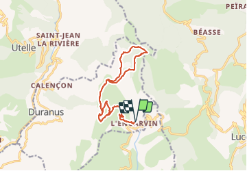
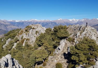
Trail Walking of 16.4 km to be discovered at Provence-Alpes-Côte d'Azur, Maritime Alps, Duranus. This trail is proposed by ETMU5496.

Description

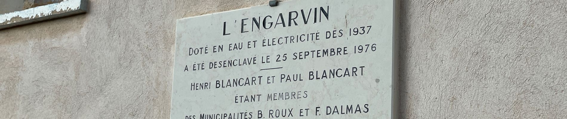
Très jolie randonnée au départ du parking hameau de l'Engarvin
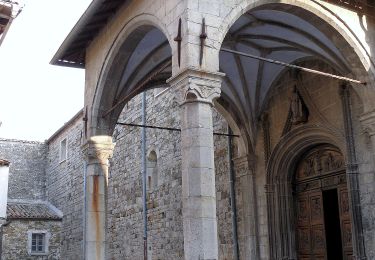
Montée au Col St Michel puis chapelle St Roch
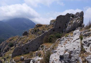
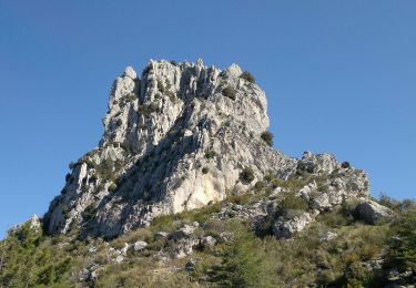
Passage aux ruines de Rocca Spalviera puis direction col de l'Autaret.
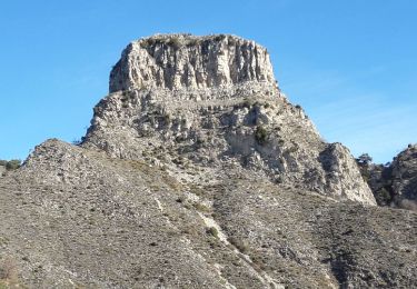
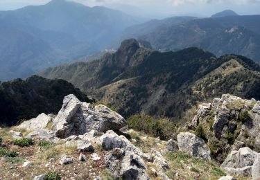
Ascension de la cime de RoccaSierra (1501 m) puis descente assez technique vers le col de Lobe.
Retour en boucle vers col du l'Autaret puis descente vers parking

Elevation profile

Photos

49 photos in total. Please click on a photo to see them all in the gallery.

Positioning

Country:
France
Region :
Provence-Alpes-Côte d'Azur
Department/Province :
Maritime Alps
Municipality :
Duranus
Location:
Unknown
Start:(UTM)
363792 ; 4861077 (32T) N.

Trails nearby

Trail On foot Lucéram - Circuit du Grand Braus - Photo
On foot
PRO

On foot

Easy
Lucéram, Provence-Alpes-Côte d'Azur, Maritime Alps, France
9.9 km | 18.6 km-effort
4h 13min
Yes
Trail On foot Coaraze - Rocca Sparvièra - Photo
On foot
PRO

On foot

Easy
Coaraze, Provence-Alpes-Côte d'Azur, Maritime Alps, France
10.5 km | 17.6 km-effort
3h 59min
Yes
Trail Walking Coaraze - Rocca Spavierra - Photo
Walking
franquen

Walking

Medium
(1)
Coaraze, Provence-Alpes-Côte d'Azur, Maritime Alps, France
11.6 km | 19.6 km-effort
4h 6min
Yes
Trail Walking Utelle - Utelle, Brec d'Utelle - Photo
Walking
GrouGary

Walking

Very difficult
(1)
Utelle, Provence-Alpes-Côte d'Azur, Maritime Alps, France
11.2 km | 22 km-effort
4h 59min
Yes
Trail Walking Utelle - Le Brec d'Utelle 1604m 19-04-22 - Photo
Walking
fredetpascale

Walking

Medium
Utelle, Provence-Alpes-Côte d'Azur, Maritime Alps, France
11.2 km | 22 km-effort
4h 15min
Yes
Trail On foot Levens - Crête du Férion - Photo
On foot
PRO

On foot

Medium
Levens, Provence-Alpes-Côte d'Azur, Maritime Alps, France
13 km | 24 km-effort
5h 26min
Yes
Trail On foot Utelle - Brec d'Utelle - Photo
On foot
PRO

On foot

Medium
Utelle, Provence-Alpes-Côte d'Azur, Maritime Alps, France
11.2 km | 22 km-effort
5h 2min
Yes
Trail On foot Duranus - Mine de l'Eguisse - Photo
On foot
PRO

On foot

Easy
Duranus, Provence-Alpes-Côte d'Azur, Maritime Alps, France
6.8 km | 14.5 km-effort
3h 17min
Yes
Trail Walking Duranus - Cime de Rocassiera depuis l'Engarvin - Photo
Walking
patsure

Walking

Medium
Duranus, Provence-Alpes-Côte d'Azur, Maritime Alps, France
15.4 km | 27 km-effort
4h 40min
Yes


Close
My subscriptions